<< Our Photo Pages >> Black Combe - Cairn in England in Cumbria
Submitted by Alphasmam on Saturday, 06 September 2014 Page Views: 2689
Neolithic and Bronze AgeSite Name: Black CombeCountry: England County: Cumbria Type: Cairn
Nearest Town: Millom
Map Ref: SD135855
Latitude: 54.257830N Longitude: 3.32933W
Condition:
| 5 | Perfect |
| 4 | Almost Perfect |
| 3 | Reasonable but with some damage |
| 2 | Ruined but still recognisable as an ancient site |
| 1 | Pretty much destroyed, possibly visible as crop marks |
| 0 | No data. |
| -1 | Completely destroyed |
| 5 | Superb |
| 4 | Good |
| 3 | Ordinary |
| 2 | Not Good |
| 1 | Awful |
| 0 | No data. |
| 5 | Can be driven to, probably with disabled access |
| 4 | Short walk on a footpath |
| 3 | Requiring a bit more of a walk |
| 2 | A long walk |
| 1 | In the middle of nowhere, a nightmare to find |
| 0 | No data. |
| 5 | co-ordinates taken by GPS or official recorded co-ordinates |
| 4 | co-ordinates scaled from a detailed map |
| 3 | co-ordinates scaled from a bad map |
| 2 | co-ordinates of the nearest village |
| 1 | co-ordinates of the nearest town |
| 0 | no data |
Internal Links:
External Links:
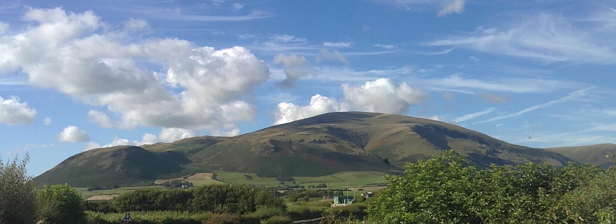
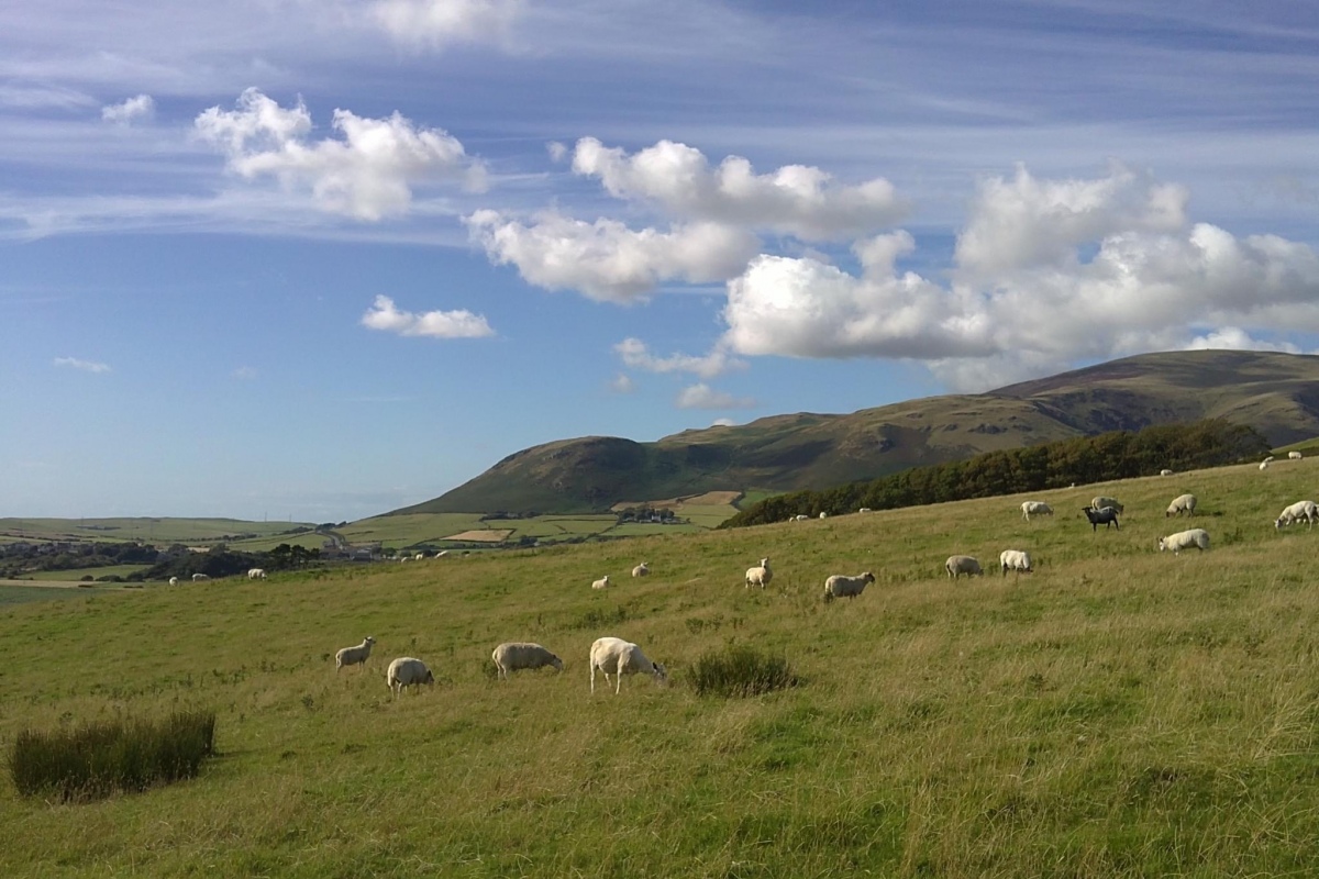
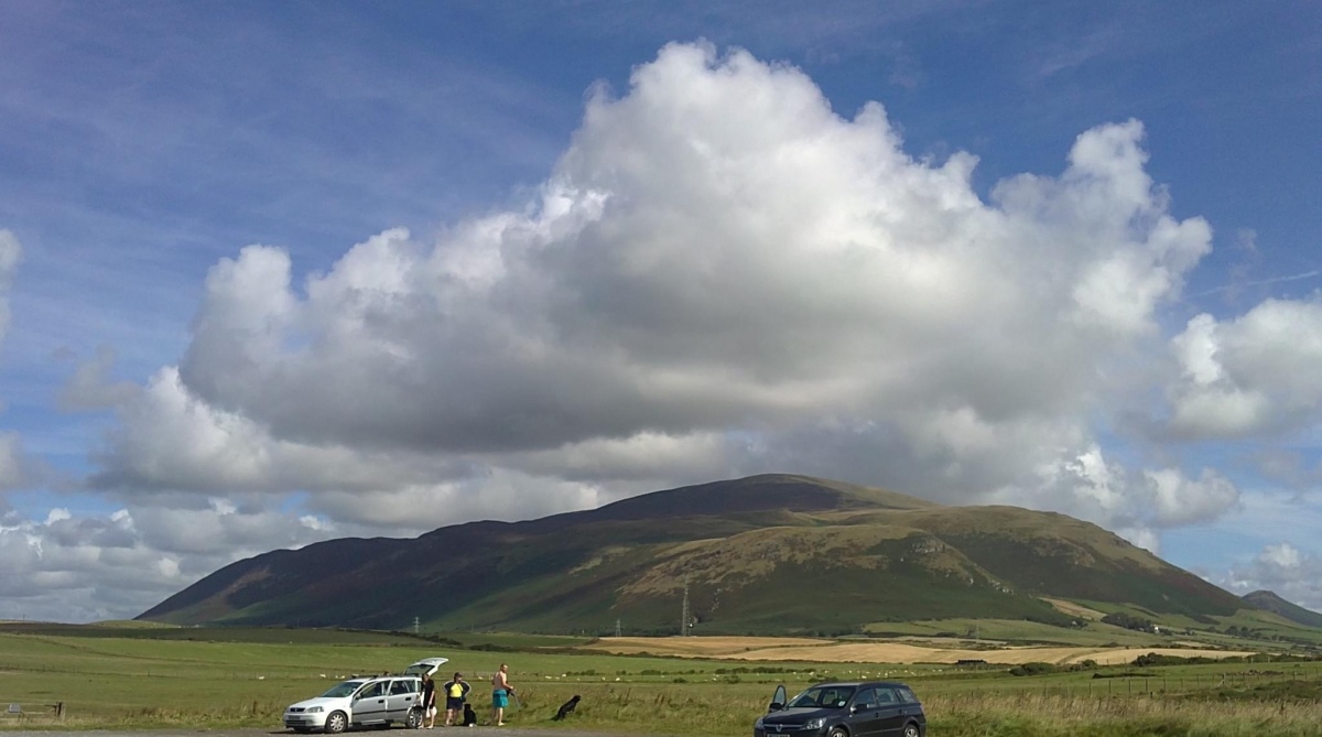
Black Combe (600 m) dominates the coastal West Cumbrian sea board from Ravenglass down to the Whicham Valley and can be seen from Barrow in Furness well to the south.
It is remote from the regular Lakes fell walking territory.The views from the summit are exceptional.There are many approaches to this summit but all are a long way and most start off on a strenuous zig zag track rising very steeply until the ridge between White Combe screes and Black Combe screes is reached. Then it becomes a wide, broad ridge with dangerous screes to the south of it with no footpaths.To the north the ground is rolling moorland and peat bog.
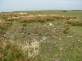
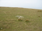
Our approach was from Whicham Mill on the A 595 up White Combe Beck to the ridge linking White Combe and Black Combe. The ridge is grassy and in parts very boggy but the area seems to show evidence of cairns in what I believe could be quite large numbers BUT they are hard to detect. In places the outer edges of cairns can be seen and the odd larger stone sticking up .There does seem to be many white stones in the circular formations.
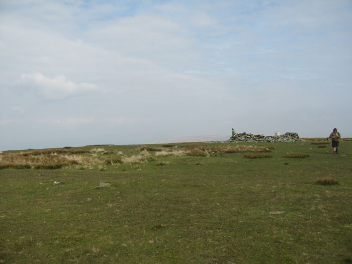
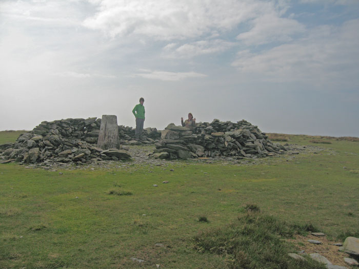
The summit cairn has been seriously changed by generations of fell walkers creating shelter from the winds from the Irish Sea and is on the top of a very gentle dome.
"One may postulate who gathered the stones and over what period .." Mark Richards in The Southern Fells guide book.
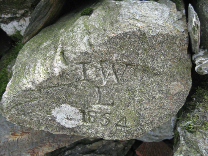
We felt that many of the stones in the shelter wall were probably robbed from other cairns on the same site as there are traces all over the summit of cairn like shapes with few stones now present.However we were intrigued by the carved stones on the cairn.Many were from Victorian times when interest in fell walking took off.
There is another ancient cairn on Black Combe referred to as the South Top Cairn (Grid Ref S D 133 852) and is beehive shaped.Between the summit cairn and the south top cairn there is a small valley with a tarn.
We saw feint evidence of circular cairns on Hentoe Hill (Grid Ref S D 137 865)before we reached the summit.
This area is totally different from the rugged Central Fells but it has an atmosphere all of its own.It must be good if William Wordsworth ventured to the summit and became elated.
N.B. We could see Buckbarrow and Whitfell, across to Lacra Fell circles in the distance which I've already visited.
Also White Combe and Swinside Fells overlook Swinside or Sunkenkirk stone circle.
A picture can be built up of busy ancient past activity in these mountains.
You may be viewing yesterday's version of this page. To see the most up to date information please register for a free account.
Do not use the above information on other web sites or publications without permission of the contributor.
Click here to see more info for this site
Nearby sites
Key: Red: member's photo, Blue: 3rd party photo, Yellow: other image, Green: no photo - please go there and take one, Grey: site destroyed
Download sites to:
KML (Google Earth)
GPX (GPS waypoints)
CSV (Garmin/Navman)
CSV (Excel)
To unlock full downloads you need to sign up as a Contributory Member. Otherwise downloads are limited to 50 sites.
Turn off the page maps and other distractions
Nearby sites listing. In the following links * = Image available
2.3km W 274° Hall Foss Stone Circle (SD112857)
3.1km WSW 246° Kirkstones Stone Circle (SD106843)
3.3km N 357° Bootle Fell Round Cairn 2/3* Round Cairn (SD1336388790)
3.5km N 356° Bootle Fell Round Cairn 4* Round Cairn (SD1333389018)
3.5km N 360° Bootle Fell Round Cairn 1* Round Cairn (SD1354789043)
3.6km N 356° Bootle Fell Cairns* Cairn (SD1331989116)
3.7km W 266° Annaside Stone Circle (SD098853)
4.3km S 178° Kirksanton Stone Circle Stone Circle (SD136812)
4.4km S 177° Giants Grave, Kirksanton* Standing Stones (SD1361581103)
4.4km SSE 159° Lacra A.* Stone Circle (SD14988133)
4.5km SSE 159° Lacra* Stone Circle (SD150813)
4.5km NE 53° Swinside* Stone Circle (SD17168817)
4.5km SSE 158° Lacra E Stone Circle (SD15118127)
4.5km SSE 158° Lacra Avenue (I)* Multiple Stone Rows / Avenue (SD15158126)
4.6km SSE 159° Lacra Avenue (II)* Multiple Stone Rows / Avenue (SD15088121)
4.6km SSE 159° Lacra D* Stone Circle (SD15098121)
4.7km SSE 161° Lacra B* Stone Circle (SD1492380982)
4.8km SSE 160° Lacra C* Stone Circle (SD1501480971)
5.8km NNE 16° Buckbarrow Crag, Hare Raise, Burn Moor and Whitfell Cairn (SD152911)
6.0km ENE 72° Ash House* Standing Stones (SD19288729)
6.4km NE 47° Thwaites Fell* Standing Stone (Menhir) (SD1824089813)
6.8km NE 41° Beckstones and Logan Beck Bridge* Ancient Village or Settlement (SD18069051)
8.1km NE 40° Frith Hall* Ancient Village or Settlement (SD189916)
8.4km N 358° Whitrow Beck* Stone Circle (SD13429387)
10.2km NNW 339° Waberthwaite Cross* Ancient Cross (SD10039510)
View more nearby sites and additional images




 We would like to know more about this location. Please feel free to add a brief description and any relevant information in your own language.
 Wir möchten mehr über diese Stätte erfahren. Bitte zögern Sie nicht, eine kurze Beschreibung und relevante Informationen in Deutsch hinzuzufügen.
 Nous aimerions en savoir encore un peu sur les lieux. S'il vous plaît n'hesitez pas à ajouter une courte description et tous les renseignements pertinents dans votre propre langue.
 Quisieramos informarnos un poco más de las lugares. No dude en añadir una breve descripción y otros datos relevantes en su propio idioma.