Featured: How and why the ancients enchanted Great Britain and Brittany

How and why the ancients enchanted Great Britain and Brittany

Random Image


Mané Braz tumulus

Megaliths by David Corio

Megaliths by David Corio

Who's Online

There are currently, 255 guests and 2 members online.

You are a guest. To join in, please register for free by clicking here

Sponsors

<< Our Photo Pages >> The Wainstones - Rock Outcrop in England in Yorkshire (North)

Submitted by SolarMegalith on Wednesday, 16 August 2017  Page Views: 4252

Natural PlacesSite Name: The Wainstones
Country: England County: Yorkshire (North) Type: Rock Outcrop
Nearest Town: Middlesborough  Nearest Village: Great Broughton
Map Ref: NZ55880358
Latitude: 54.424591N  Longitude: 1.14025W
Condition:
5Perfect
4Almost Perfect
3Reasonable but with some damage
2Ruined but still recognisable as an ancient site
1Pretty much destroyed, possibly visible as crop marks
0No data.
-1Completely destroyed
4 Ambience:
5Superb
4Good
3Ordinary
2Not Good
1Awful
0No data.
5 Access:
5Can be driven to, probably with disabled access
4Short walk on a footpath
3Requiring a bit more of a walk
2A long walk
1In the middle of nowhere, a nightmare to find
0No data.
3 Accuracy:
5co-ordinates taken by GPS or official recorded co-ordinates
4co-ordinates scaled from a detailed map
3co-ordinates scaled from a bad map
2co-ordinates of the nearest village
1co-ordinates of the nearest town
0no data
5

Internal Links:
External Links:

I have visited· I would like to visit

SolarMegalith visited on 28th Jul 2017 - their rating: Cond: 4 Amb: 5 Access: 3

The Wainstones
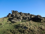
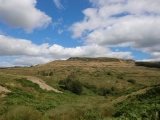
The Wainstones submitted by SolarMegalith : A general view of The Wainstones (photo taken on July 2017). (Vote or comment on this photo)
This group of rock outcrops of spectacular shapes dominates the area immediately north of the North York Moors National Park. The outcrops themselves are not decorated, but around them there are many rock art panels.

B.A. Smith and A.A. Walker suggested that these impressive natural pillars could have been used as natural monuments in prehistoric times.

Smith, B.A. and Walker, A.A. 2008. Rock Art and Ritual: Interpreting the Prehistoric Landscapes of the North York Moors. Stroud: The History Press.

You may be viewing yesterday's version of this page. To see the most up to date information please register for a free account.

The Wainstones
The Wainstones submitted by johndhunter : The Cleveland Way – The route through the Wain Stones looking west towards Cold Moor, January 2012 (1 comment - Vote or comment on this photo)

The Wainstones
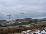
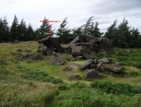
The Wainstones submitted by johndhunter : The Wain Stones – Viewed looking easterly from Cold Moor, January 2012. In this long distance short, the Wain Stones which are in the centre of the image appears to look like a large stone circle on the edge of the moor (Vote or comment on this photo)

The Wainstones
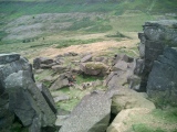
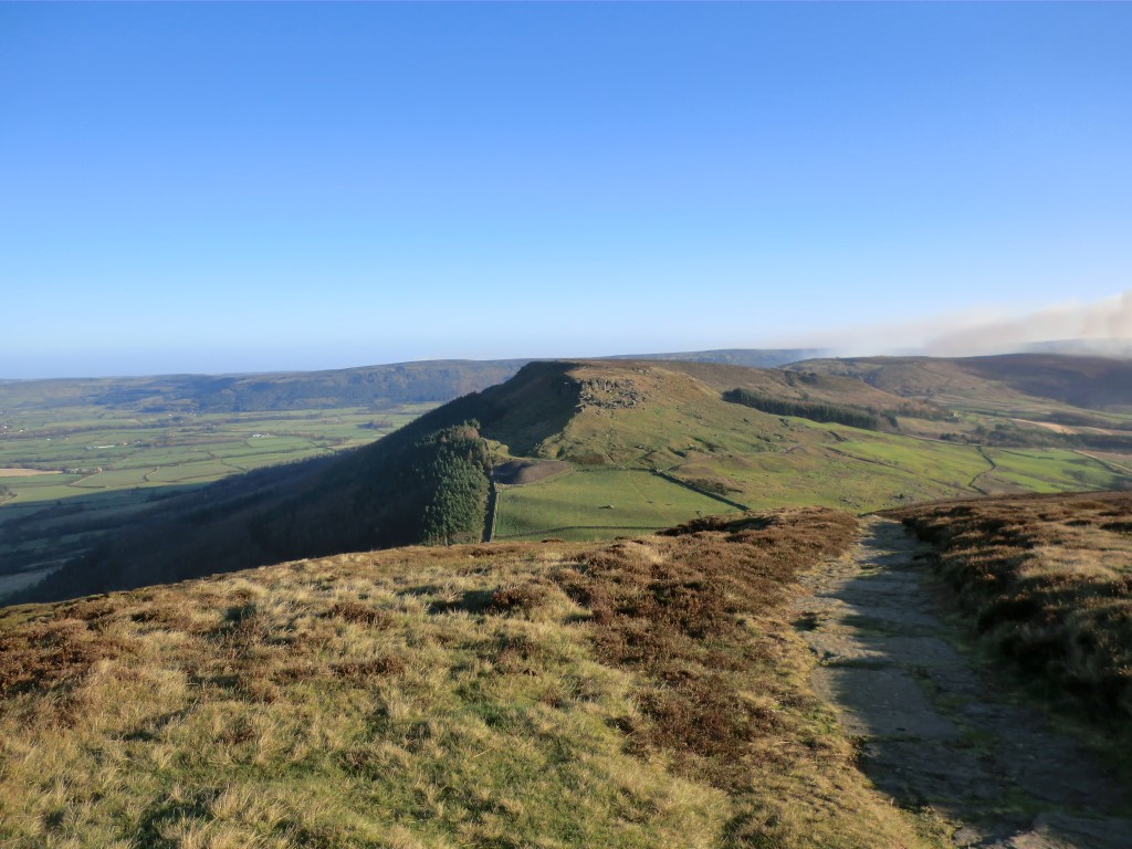
The Wainstones submitted by SolarMegalith : The Wainstones and view towards the west (photo taken on July 2017). (Vote or comment on this photo)

The Wainstones 6
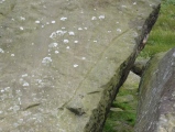
The Wainstones 6 submitted by SolarMegalith : Central cup-and-ring mark seen in the artificial lighting (photo taken on July 2017). (Vote or comment on this photo)

The Wainstones
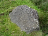
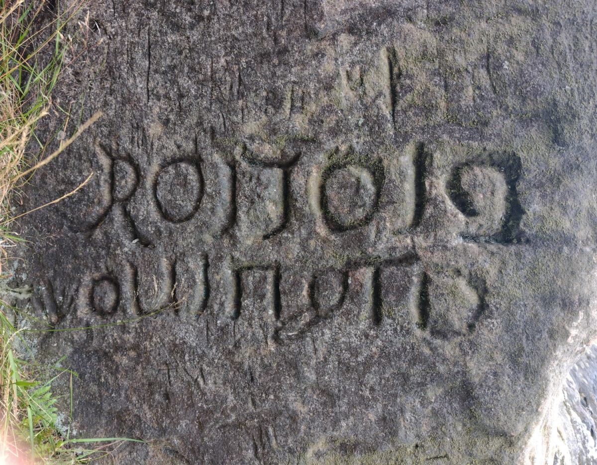
The Wainstones submitted by LittleDragon : Inscription on stone at Wainstones site (rotated 90° CW). This stone is found in the first group of stones when entering the site from the East, it lies to the left just off the main path, before the terrain drops down into the gulley. The carving is on the South face of the stone. (Vote or comment on this photo)

The Wainstones
The Wainstones submitted by johndhunter : The Wain Stones - Viewed looking easterly from below, January 2012

The Wainstones
The Wainstones submitted by johndhunter : The Wain Stones – Viewed looking southerly from Broughton Bank, January 2012

The Wainstones
The Wainstones submitted by johndhunter : The Wain Stones – This long distance shot taken from Urra Moor looking northerly in April 2013 shows the landscape setting they are within.

The Wainstones
The Wainstones submitted by johndhunter : The Wain Stones - Viewed looking easterly from below, January 2012. The route of the Cleveland Way passes through the U shaped gap just left of centre in the image

The Wainstones
The Wainstones submitted by johndhunter : The Wain Stones – Looking down towards Garfit Gap, August 2009

The Wainstones
The Wainstones submitted by johndhunter : The Wain Stones – Pronounced locally “Wainsteeans”, long distance shot from Garfit Gap, August 2013. The distinctive two pillars of rock in the outcrop can be seen sticking up just left of centre in the image

The Wainstones 6
The Wainstones 6 submitted by SolarMegalith : Cup-and-ring mark and surrounding channels (photo taken on July 2017). (1 comment)

The Wainstones 6
The Wainstones 6 submitted by SolarMegalith : The Wainstones 6 in its landscape context (photo taken on July 2017).

The Wainstones 6
The Wainstones 6 submitted by SolarMegalith : A general view of the panel (photo taken on July 2017).

The Wainstones 5
The Wainstones 5 submitted by SolarMegalith : Close-up of the pecked groove on The Wainstones 5 panel (photo taken on July 2017).

The Wainstones 5
The Wainstones 5 submitted by SolarMegalith : Sloping surface of The Wainstones 5 panel with clearly distinguishable pecked groove near its edge - view from the north (photo taken on July 2017).

The Wainstones 5
The Wainstones 5 submitted by SolarMegalith : The Wainstones 5 with surrounding sandstone boulders (photo taken on July 2017).

The Wainstones 3
The Wainstones 3 submitted by SolarMegalith : Cups with an oval groove seen in the artificial lighting (photo taken on July 2017).

The Wainstones 3
The Wainstones 3 submitted by SolarMegalith : Heavily eroded cups with an oval groove (photo taken on July 2017).

The Wainstones 3
The Wainstones 3 submitted by SolarMegalith : The Wainstones 3 boulder and view to the west (photo taken on July 2017).

Do not use the above information on other web sites or publications without permission of the contributor.
Click here to see more info for this site

Nearby sites

Click here to view sites on an interactive OS map

Key: Red: member's photo, Blue: 3rd party photo, Yellow: other image, Green: no photo - please go there and take one, Grey: site destroyed

Download sites to:
KML (Google Earth)
GPX (GPS waypoints)
CSV (Garmin/Navman)
CSV (Excel)

To unlock full downloads you need to sign up as a Contributory Member. Otherwise downloads are limited to 50 sites.


Turn off the page maps and other distractions

Nearby sites listing. In the following links * = Image available
 103m WNW 304° The Wainstones 5* Rock Art (NZ5579303636)
 243m S 190° The Wainstones 6* Rock Art (NZ55840334)
 253m W 273° Broughton Bank WAI 1a* Rock Art (NZ5562603590)
 337m WSW 239° The Wainstones 3* Rock Art (NZ5559203403)
 1.4km W 264° Donna Cross* Ancient Cross (NZ5447503409)
 1.9km SSW 202° Three Howes (Cold Moor)* Barrow Cemetery (NZ5520501823)
 2.0km SSW 200° Cold Moor Bowl Barrow* Round Barrow(s) (NZ55220165)
 2.2km WSW 254° Drake Howe* Round Barrow(s) (NZ53750295)
 2.3km W 259° Cringle Moor* Round Barrow(s) (NZ5365703124)
 2.4km SE 129° Cheshire Stone (Urra Moor)* Natural Stone / Erratic / Other Natural Feature (NZ5772902118)
 3.0km ESE 116° Carr Ridge Cairn (Urra Moor)* Cairn (NZ5859702283)
 3.3km SSW 200° Cold Moor End (Raisdale)* Round Barrow(s) (NZ5479200470)
 3.3km SSE 151° Billy's Dyke* Misc. Earthwork (NZ5751300689)
 3.4km W 265° Green Bank (Lord Stones Country Park)* Modern Stone Circle etc (NZ5253303268)
 3.4km W 265° Hall Cliff Stone (Green Bank)* Marker Stone (NZ5247303234)
 3.6km W 261° Lord Stones Cairn Circle.* Barrow Cemetery (NZ523030)
 3.8km ESE 122° Round Hill West* Cairn (NZ5913101602)
 3.8km SE 130° North Gill Head (Urra Moor)* Rock Art (NZ5884101119)
 3.9km WSW 241° Three Thumb Stone (Bilsdale West Moor)* Standing Stone (Menhir) (NZ5250901691)
 4.0km SE 137° Collar Ridge Pillar Cairn* Cairn (NZ5866800700)
 4.1km ESE 120° Round Hill East* Round Barrow(s) (NZ59430159)
 4.1km WSW 257° Carlton Bank Round Cairn (Howe Moor)* Round Cairn (NZ5193002585)
 4.1km WSW 242° Stone Ruck (Bilsdale West Moor)* Round Barrow(s) (NZ5229701621)
 4.1km ENE 64° Mary Ross Seat* Carving (NZ5953405423)
 4.2km WSW 254° Carlton Bank Iron Age Square Barrow* Misc. Earthwork (NZ5187202396)
View more nearby sites and additional images

<< The Wainstones 6

University of Tennessee Agriculture Farm Mound >>

Please add your thoughts on this site

Prehistoric Rock Art in the Northern Dales

Prehistoric Rock Art in the Northern Dales

Sponsors

Auto-Translation (Google)

Translate from English into:

"The Wainstones" | Login/Create an Account | 3 News and Comments
  
Go back to top of page    Comments are owned by the poster. We aren't responsible for their content.
Re: The Wainstones by johndhunter on Wednesday, 19 September 2018
(User Info | Send a Message)
Admin – The Wainstone Rock Art Panels which each have there own individual site pages are also appearing on this Wainstone Rock Outcrop page
[ Reply to This ]
    Re: The Wainstones by Anne T on Friday, 21 September 2018
    (User Info | Send a Message)
    Hi John, Thanks for logging this. Some of the pages (other admins please correct me if I'm wrong), such as this one, are meant to be 'catch all's' or summary pages for a series of sites in the same general location and close to each other. These pages will display all the photographs with the main title/keyword in. I created a similar page for Rivock. This page lists all the Rivock sites, then people can click on 'nearby sites' to find out more details of the individual panels or associated sites. There are numerous others which you may find as you search through.

    In other cases, the name of the site page can be too generic and it does capture photographs from other sites with the same keyword in their titles, and these do need correcting. It's very much appreciated if they are pointed out. Does this make sense??

    Don't hesitate to point out other examples - happy to look at them and amend them as they come up. Thanks!
    [ Reply to This ]
      Re: The Wainstones by johndhunter on Friday, 21 September 2018
      (User Info | Send a Message)
      Yes that makes complete sense, I wasn’t sure myself if this was how it was supposed to be, thanks for the clarification.
      [ Reply to This ]

Your Name: Anonymous [ Register Now ]
Subject:


Add your comment or contribution to this page. Spam or offensive posts are deleted immediately, don't even bother

<<< What is five plus one as a number? (Please type the answer to this question in the little box on the left)
You can also embed videos and other things. For Youtube please copy and paste the 'embed code'.
For Google Street View please include Street View in the text.
Create a web link like this: <a href="https://www.megalithic.co.uk">This is a link</a>  

Allowed HTML is:
<p> <b> <i> <a> <img> <em> <br> <strong> <blockquote> <tt> <li> <ol> <ul> <object> <param> <embed> <iframe>

We would like to know more about this location. Please feel free to add a brief description and any relevant information in your own language.
Wir möchten mehr über diese Stätte erfahren. Bitte zögern Sie nicht, eine kurze Beschreibung und relevante Informationen in Deutsch hinzuzufügen.
Nous aimerions en savoir encore un peu sur les lieux. S'il vous plaît n'hesitez pas à ajouter une courte description et tous les renseignements pertinents dans votre propre langue.
Quisieramos informarnos un poco más de las lugares. No dude en añadir una breve descripción y otros datos relevantes en su propio idioma.