<< Our Photo Pages >> Cox Tor Summit Cairns - Cairn in England in Devon
Submitted by AngieLake on Friday, 14 September 2012 Page Views: 3839
Neolithic and Bronze AgeSite Name: Cox Tor Summit CairnsCountry: England County: Devon Type: Cairn
Nearest Town: Tavistock Nearest Village: Peter Tavy
Map Ref: SX53067618
Latitude: 50.566842N Longitude: 4.076197W
Condition:
| 5 | Perfect |
| 4 | Almost Perfect |
| 3 | Reasonable but with some damage |
| 2 | Ruined but still recognisable as an ancient site |
| 1 | Pretty much destroyed, possibly visible as crop marks |
| 0 | No data. |
| -1 | Completely destroyed |
| 5 | Superb |
| 4 | Good |
| 3 | Ordinary |
| 2 | Not Good |
| 1 | Awful |
| 0 | No data. |
| 5 | Can be driven to, probably with disabled access |
| 4 | Short walk on a footpath |
| 3 | Requiring a bit more of a walk |
| 2 | A long walk |
| 1 | In the middle of nowhere, a nightmare to find |
| 0 | No data. |
| 5 | co-ordinates taken by GPS or official recorded co-ordinates |
| 4 | co-ordinates scaled from a detailed map |
| 3 | co-ordinates scaled from a bad map |
| 2 | co-ordinates of the nearest village |
| 1 | co-ordinates of the nearest town |
| 0 | no data |
Internal Links:
External Links:
I have visited· I would like to visit
SolarMegalith would like to visit
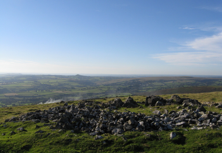
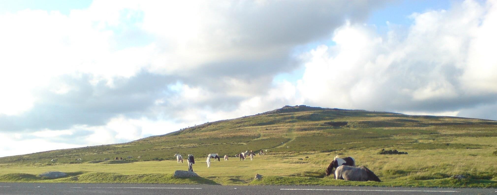
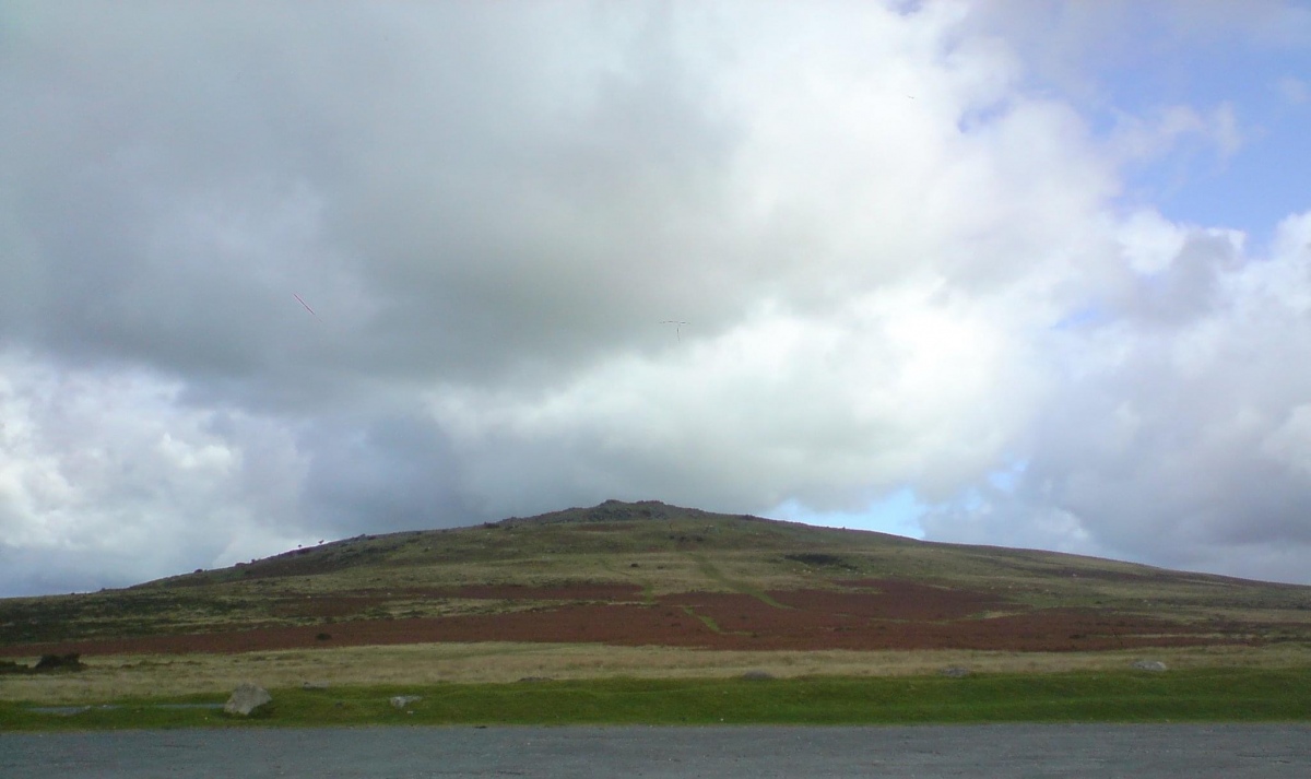
Cox Tor lies just north of the east-west B3357 that crosses Dartmoor, just before the cattle grid as you start to descend from the extreme western moorland. There is a very handy, spacious and *very* panoramic car park to south of road there. A few miles further west is Tavistock and Merrivale's stone rows lie a similar distance to the east.
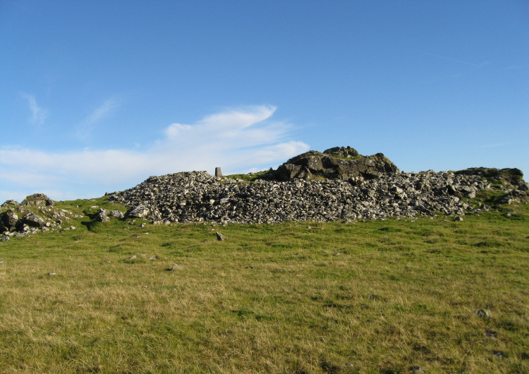
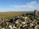
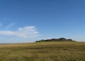
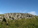
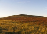
On the tor’s summit, with its triangulation pillar is the cairn Butler describes as Cairn 3, Summit tor. This is the grid ref used to locate the cairns.
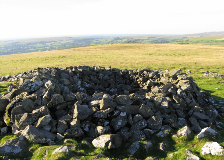
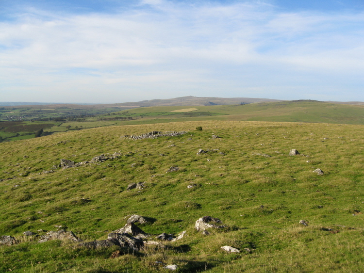
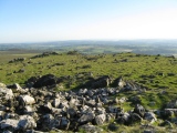
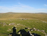
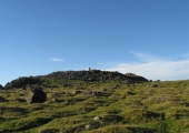
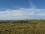
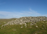
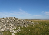
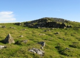
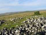
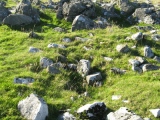
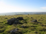
He marks about seven cairns on his plan in the ‘Dartmoor Atlas of Antiquities, Volume Two – The North’ (Map 31, fig. 31.1). Of those, I saw and photographed the three most notable ones, which I believe were Butler's nos. 3, 4 and 5. The views from the summit were wonderful on that sunny late summer day, and Brentor’s volcanic peak surmounted by its tiny chapel to NW was particularly picturesque.
I did not approach the summit via the south face as it was too steep, but instead followed a track around the SE-NE flanks of the hill where I was pleasantly surprised to find the NE settlement, which also continued up over the slopes, leading me to discover the summit cairns.
Butler tells us more [referring to his plan]:
“Cairns dominate the summit ridge, though perhaps not as many now as formerly. In 1893 R. N. Worth recorded traces of four circled cairns on the plateau of the tor, one of them with a stone row orientated north and south, but none of his descriptions correspond with the cairns now visible here and the row has not been relocated. The tor rocks support a triangulation pillar on top and an enormous mass of small stones over 2 m high piled around the base, 3. Some of these were reorganized into a smaller cairn on the summit as one of the many commemorations on the moor celebrating the 1887 jubilee, but the original labour may well have been of Bronze Age date. The foundations of a small oval building less than 2 m across tucked into the rocks a few metres away was excavated by the Dartmoor Exploration Committee but nothing was found to indicate when it was built.
A more typical cairn, 4, about 18 m in diameter and with a deep central pit stands prominently on the ridge about 150 m to the north, also overlying an outcrop of rock, as do the two smaller cairns 60 m further on in the same direction, 5 and 6. The latter were excavated by the Dartmoor Exploraiton Committee in their 1898 season and each was found to consist of an outer circular bank infilled with loose stones and earth at the centre, but with no trace of a burial or indeed of any finds at all. The small cairn 7, only 5 m across was not mentioned in their report but this also has been trenched. The Committee then dug into two small cairns 60 m south of the tor, in neither of which was anything found. These were part of a small cairnfield with five to seven members, but only two are easily identifiable south-east of the tor, 8 and 9.“
When I visited on 8th September 2012 I did not have my Butler’s guide for that area, so was unable to search for those other features. All the sites I photographed were those marked on the OS map.
Coming down on the steep south side I passed between rocks where Butler marks a small homestead, marked '1' on his plan.
A large herd of wild ponies were on this upper 'shelf' of the hill enjoying their evening grazing session. The track was quite steep going downhill, so I was glad of my walking boots!
Update September 2019: Prehistoric Dartmoor Walks (PDW) also includes entries for these cairns. See:
Cox Tor Stone Ring Cairn Circle at SX 53069 76190 (also known as Grinsell Peter Tavy 37a, Turner A59 and Cox Tor Summit);
Cox Tor (NE) Stone Ring Cairn Circle at SX 53047 76430 (also known as Cox Tor N.6; Grinsell Peter Tave 36 and Turner A51); and
Cox Tor (NW) Stone Ring Cairn Circle at SX 53024 76424 (also known as Cox Tor N.5, Grinsell Peter Tavy 35 and Turner A48).
The PDW entries above also include links to their Pastscape and Devon and Dartmoor HER records.
You may be viewing yesterday's version of this page. To see the most up to date information please register for a free account.
Do not use the above information on other web sites or publications without permission of the contributor.
Click here to see more info for this site
Nearby sites
Key: Red: member's photo, Blue: 3rd party photo, Yellow: other image, Green: no photo - please go there and take one, Grey: site destroyed
Download sites to:
KML (Google Earth)
GPX (GPS waypoints)
CSV (Garmin/Navman)
CSV (Excel)
To unlock full downloads you need to sign up as a Contributory Member. Otherwise downloads are limited to 50 sites.
Turn off the page maps and other distractions
Nearby sites listing. In the following links * = Image available
190m SSW 197° Cocks Tor Stone Row / Alignment (SX530760)
626m ENE 58° Cox Tor north east* Ancient Village or Settlement (SX536765)
1.2km S 181° Whitchurch Common Ring Cairn (SX5301674995)
1.3km ENE 70° Roos Tor Rocks* Rock Outcrop (SX543766)
1.5km NE 41° Roos Tor north west* Ancient Village or Settlement (SX5403977254)
1.6km S 169° Barn Hill Cairn (SX53337458)
1.9km SSE 167° Windy Post Cross* Ancient Cross (SX53437428)
2.0km NE 44° Wedlake Cairns* Barrow Cemetery (SX545776)
2.1km SE 145° Vixen Tor* Cist (SX5424074392)
2.3km NW 309° Peter Tavy Churchyard Cross* Ancient Cross (SX51307770)
2.3km NE 50° Cairns North of Roos Tor* Cairn (SX5488477645)
2.3km NNE 22° White Tor Long Cairn* Cairn (SX5401478316)
2.4km NNE 11° Cudliptown Down Enclosed Settlement* Ancient Village or Settlement (SX536785)
2.5km NE 44° Langstone Moor Cairn Circle* Ring Cairn (SX54847792)
2.5km NNE 28° South of White Tor Cairns* Barrow Cemetery (SX543784)
2.6km ESE 119° Merrivale N circle* Stone Circle (SX5532674841)
2.7km ESE 121° Merrivale NW* Stone Circle (SX55307475)
2.7km ESE 122° Cairn south of Stone Row B (Merrivale)* Cairn (SX553747)
2.7km ESE 120° Merrivale SW row 3* Stone Row / Alignment (SX5539474761)
2.7km ESE 120° Merrivale Centre S* Cairn (SX55407477)
2.8km ESE 119° Merrivale Centre N* Cairn (SX55437477)
2.8km NNE 24° White Tor (Peter Tavy)* Ancient Village or Settlement (SX5424078673)
2.8km ESE 119° Merrivale North Row* Multiple Stone Rows / Avenue (SX55457479)
2.8km ESE 114° Merrivale settlement* Ancient Village or Settlement (SX5555174979)
2.8km ESE 123° Merrivale circle* Stone Circle (SX55357463)
View more nearby sites and additional images


 We would like to know more about this location. Please feel free to add a brief description and any relevant information in your own language.
 Wir möchten mehr über diese Stätte erfahren. Bitte zögern Sie nicht, eine kurze Beschreibung und relevante Informationen in Deutsch hinzuzufügen.
 Nous aimerions en savoir encore un peu sur les lieux. S'il vous plaît n'hesitez pas à ajouter une courte description et tous les renseignements pertinents dans votre propre langue.
 Quisieramos informarnos un poco más de las lugares. No dude en añadir una breve descripción y otros datos relevantes en su propio idioma.