<< Our Photo Pages >> Leeden Tor - Stone Row / Alignment in England in Devon
Submitted by Brian_Byng on Saturday, 09 October 2004 Page Views: 8860
Neolithic and Bronze AgeSite Name: Leeden TorCountry: England County: Devon Type: Stone Row / Alignment
Nearest Town: Princetown
Map Ref: SX5652271474 Landranger Map Number: 202
Latitude: 50.525409N Longitude: 4.025531W
Condition:
| 5 | Perfect |
| 4 | Almost Perfect |
| 3 | Reasonable but with some damage |
| 2 | Ruined but still recognisable as an ancient site |
| 1 | Pretty much destroyed, possibly visible as crop marks |
| 0 | No data. |
| -1 | Completely destroyed |
| 5 | Superb |
| 4 | Good |
| 3 | Ordinary |
| 2 | Not Good |
| 1 | Awful |
| 0 | No data. |
| 5 | Can be driven to, probably with disabled access |
| 4 | Short walk on a footpath |
| 3 | Requiring a bit more of a walk |
| 2 | A long walk |
| 1 | In the middle of nowhere, a nightmare to find |
| 0 | No data. |
| 5 | co-ordinates taken by GPS or official recorded co-ordinates |
| 4 | co-ordinates scaled from a detailed map |
| 3 | co-ordinates scaled from a bad map |
| 2 | co-ordinates of the nearest village |
| 1 | co-ordinates of the nearest town |
| 0 | no data |
Internal Links:
External Links:
I have visited· I would like to visit
TheCaptain would like to visit
Anne T visited on 14th May 2019 - their rating: Cond: 2 Amb: 3 Access: 5 Leeden Tor Stone Row: It was now the afternoon of 14th May. Having driven from Merrivale to the small car park nearest this site at SX 56725 71397, we had 10-15 minutes to spare before everyone arrived. In the meantime, Sandy led us up the hill to look at this stone row. By this time the wind was howling around us, with strong gusts that threatened to blow me over - thank goodness for my walking poles! I took a little satisfaction in watching the small group of soldiers out on exercise also being pummelled by the wind.
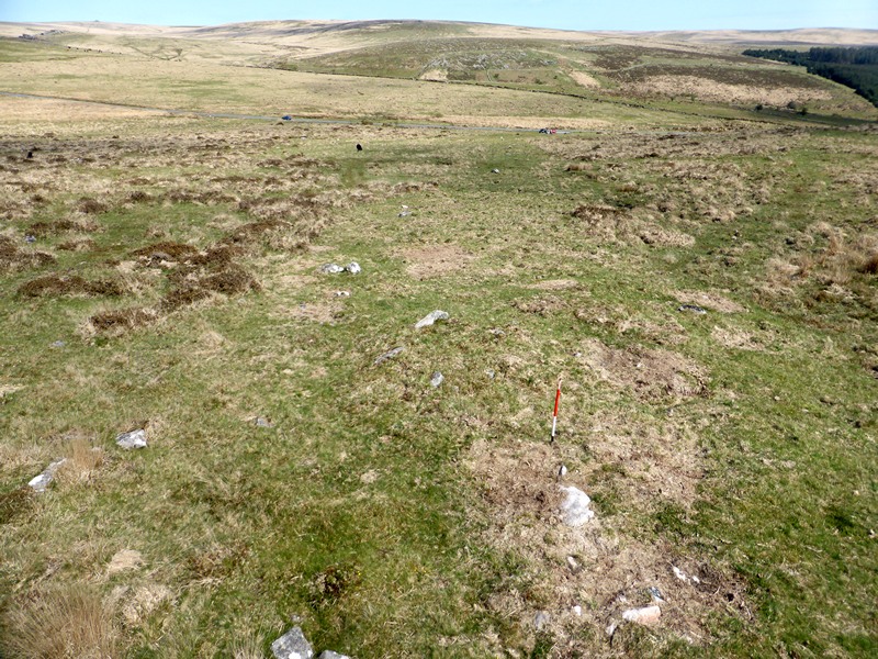
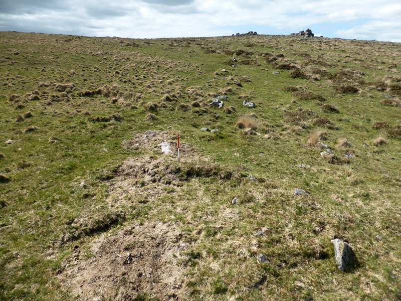
When the stones in the row and the cairn at its head were pointed out to me, I could see the alignment and also its relationship to the reave.
Whilst this stone row is near the car park, the tussocky grass made walking a little tricky.
SandyG visited on 13th May 2015 - their rating: Cond: 2 Amb: 4 Access: 4 Car parking is available at SX 56728 71395. From here walk a short distance north west up the slope.
Average ratings for this site from all visit loggers: Condition: 2 Ambience: 3.5 Access: 4.5
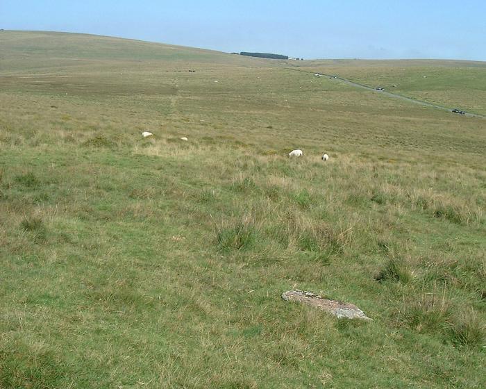
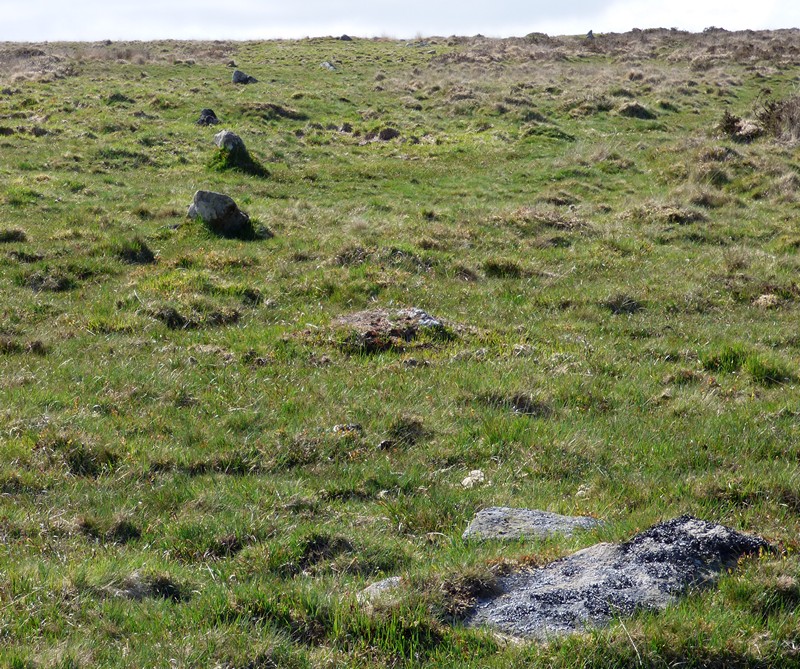
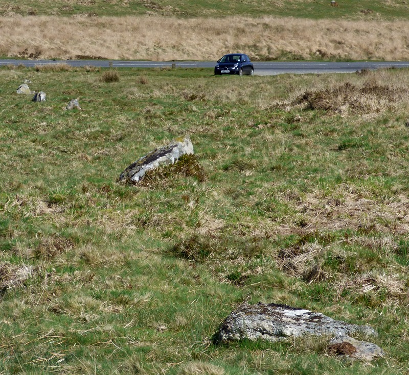
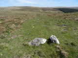
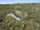
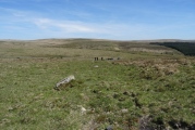
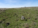
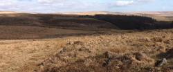
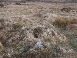
Leeden Tor Cairn lies at the upper end of this scrappy row 107 m long but with only 4 stones still upright. Cairn 6m dia with large central pit. Runs NW - SE with cairn at uphill N W end. The cairn Has a reeve cutting across it and the row has another reeve cutting across. Reeve - local word for a prehitoric field boundary maade from roughly assembled granite blocks now sometimes only traces exist as here. Reeve building on Dartmoor circa 1400 BC. Seems likely that the rows predate the reeves. Tricky to find a GPS helps. I show 2 pics of the row and one of a reeve with a fallen slab from the row in the foreground.
Update July 2019: This stone row is recorded as part of Pastscape Monument No. 440155 and MDV5023 (Stone row south-east of Leeden Tor, Walkhampton Common) on the Devon and Dartmoor HER. The row is also scheduled as Historic England List Entry No. 1011191.
The row is also featured on Prehistoric Dartmoor Walks (PDW): Leeden Tor Stone Row and the Sharpitor area Stone Rows and Cists, plus The Stone Rows of Great Britain: Leeden Tor, which includes a description, a plan of the row and its location with the landscape, photographs, access information and a list of online resources for more information. The SRoGB also includes a separate entry for Sea Views at Leeden Tor.
There is an interesting variation of opinions between the different sources of information:
Historic England says: "Th(e) cairn (at the head of the row) is earlier than the reave, to which it is connected, and is probably associated with the nearby stone alignment which is aligned onto the cairn, though it now terminates 28m from the mound. The stone alignment is 132m long and includes a single row of 16 stones. The stones stand between 0.2m and 0.7m high and are spaced at regular intervals of about 13m".
Pastscape tells us the alignment can be traced for about 40m, with seven protruding stones visible at the northern end; the stones "fall into no recognisable pattern".
Prehistoric Dartmoor Walks quotes from Butler (Dartmoor Atlas of Antiquities, volume 3, page 50): "At least fourteen stones remain in line, four only still earthfast towards the lower end and the rest either flat or buried ... There is no indication whether the present length of 165m is close to the original".
The Stone Rows of Great Britain (SandyG) has carried out the most recent survesy, in 2013 and 2015, concluding this is a "single stone row, length 165m. No. of stones: 14. Altitude 360m. Upper end has a cairn". The row also has restricted views of the sea.
You may be viewing yesterday's version of this page. To see the most up to date information please register for a free account.











These are just the first 25 photos of Leeden Tor. If you log in with a free user account you will be able to see our entire collection.
Do not use the above information on other web sites or publications without permission of the contributor.
Click here to see more info for this site
Nearby sites
Key: Red: member's photo, Blue: 3rd party photo, Yellow: other image, Green: no photo - please go there and take one, Grey: site destroyed
Download sites to:
KML (Google Earth)
GPX (GPS waypoints)
CSV (Garmin/Navman)
CSV (Excel)
To unlock full downloads you need to sign up as a Contributory Member. Otherwise downloads are limited to 50 sites.
Turn off the page maps and other distractions
Nearby sites listing. In the following links * = Image available
478m E 101° Black Tor Stone Row Cairns (Stanlake)* Cairn (SX5699071370)
546m WSW 248° Leeden Hill* Standing Stone (Menhir) (SX56017128)
578m E 90° Black Tor (Meavy)* Multiple Stone Rows / Avenue (SX5710271463)
618m ESE 120° Stanlake Settlement* Ancient Village or Settlement (SX57057115)
631m S 188° Stanlake Cist* Cist (SX5641670852)
685m S 189° Sharpitor NE (2) Stone Row / Alignment (SX564708)
789m SSW 208° Sharpitor NE* Multiple Stone Rows / Avenue (SX5613670785)
889m NW 312° Ingra Tor Cist* Cairn (SX5587272083)
1.0km SW 219° Sharpitor cairn circle* Cairn (SX5583870678)
1.1km E 89° Raddick Hill North* Ancient Village or Settlement (SX57657147)
1.1km ENE 77° Hart Tor north rows* Multiple Stone Rows / Avenue (SX57637169)
1.2km ENE 78° Hart Tor south row* Stone Row / Alignment (SX57687168)
1.2km WNW 287° Routrundle North* Ancient Village or Settlement (SX55387185)
1.2km ENE 77° Hart Tor North circle* Stone Circle (SX57717171)
1.2km SW 223° Sharpitor NW double row* Multiple Stone Rows / Avenue (SX5566570617)
1.2km ENE 78° Hart Tor South Terminal Cairn* Cairn (SX57727170)
1.2km SW 223° Sharpitor NW single row* Stone Row / Alignment (SX5567170601)
1.3km SSE 160° Stan Lake Platform Cairn Circle Cairn (SX56917028)
1.3km W 279° Routrundle South* Ancient Village or Settlement (SX55257172)
1.4km N 7° Walkhampton Enclosed Settlement* Ancient Village or Settlement (SX56747286)
1.4km E 101° Raddick Hill Cist* Cist (SX57937116)
1.6km WSW 242° Sharpitor W* Stone Row / Alignment (SX5505870748)
1.6km WSW 242° Sharpitor W Terminal Cairn* Cairn (SX5505670751)
1.9km ENE 58° Hart Tor North prehistoric settlement* Ancient Village or Settlement (SX5818572466)
2.0km S 184° Leather Tor* Cist (SX5631869522)
View more nearby sites and additional images




 We would like to know more about this location. Please feel free to add a brief description and any relevant information in your own language.
 Wir möchten mehr über diese Stätte erfahren. Bitte zögern Sie nicht, eine kurze Beschreibung und relevante Informationen in Deutsch hinzuzufügen.
 Nous aimerions en savoir encore un peu sur les lieux. S'il vous plaît n'hesitez pas à ajouter une courte description et tous les renseignements pertinents dans votre propre langue.
 Quisieramos informarnos un poco más de las lugares. No dude en añadir una breve descripción y otros datos relevantes en su propio idioma.