<< Our Photo Pages >> Gray Stone (Dunning) - Standing Stone (Menhir) in Scotland in Perth and Kinross
Submitted by BigSweetie on Thursday, 25 March 2004 Page Views: 6419
Neolithic and Bronze AgeSite Name: Gray Stone (Dunning) Alternative Name: Big Stane; Grey Stone; Maormar's Stone; Knowes; Battle Of DuncrubCountry: Scotland County: Perth and Kinross Type: Standing Stone (Menhir)
Nearest Town: Auchterarder Nearest Village: Dunning
Map Ref: NO02191180 Landranger Map Number: 58
Latitude: 56.288530N Longitude: 3.581692W
Condition:
| 5 | Perfect |
| 4 | Almost Perfect |
| 3 | Reasonable but with some damage |
| 2 | Ruined but still recognisable as an ancient site |
| 1 | Pretty much destroyed, possibly visible as crop marks |
| 0 | No data. |
| -1 | Completely destroyed |
| 5 | Superb |
| 4 | Good |
| 3 | Ordinary |
| 2 | Not Good |
| 1 | Awful |
| 0 | No data. |
| 5 | Can be driven to, probably with disabled access |
| 4 | Short walk on a footpath |
| 3 | Requiring a bit more of a walk |
| 2 | A long walk |
| 1 | In the middle of nowhere, a nightmare to find |
| 0 | No data. |
| 5 | co-ordinates taken by GPS or official recorded co-ordinates |
| 4 | co-ordinates scaled from a detailed map |
| 3 | co-ordinates scaled from a bad map |
| 2 | co-ordinates of the nearest village |
| 1 | co-ordinates of the nearest town |
| 0 | no data |
Internal Links:
External Links:
I have visited· I would like to visit
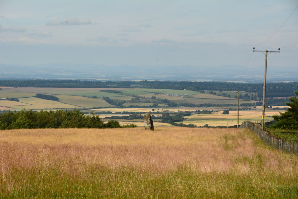
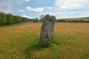
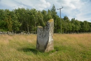
Anne T visited on 14th Jul 2018 - their rating: Cond: 3 Amb: 4 Access: 4 The Gray Stone, Dunning: Thrilled to be seeing my second standing stone of the day (and one we were likely to get close to), we parked at the end of the driveway up to The Knowes farm. The stone is signposted, but the signpost follows the line of the fence and wood to the north west. Undecided whether to follow the sign and walk through the knee high grass or take the farm track which ran directly westwards. Consulting the map, we didn’t come to any firm conclusion, so to avoid having to climb over any fences, we ended up walking up the farm track, ending up at the cottage just before the gate to the big farmhouse to the left. Turning to our right here, in front of the cottage, there is a way across the deep, wide ditch which ran to our right hand side all along the track, then followed another farm track which ran north east to two field gates at NO 02171 11700. Opening the left hand gate, we let ourselves into the field, and the stone was immediately in front of us, about half way along the middle of the field, near to the fence line with the neighbouring wood which is to the stone’s eastern side.
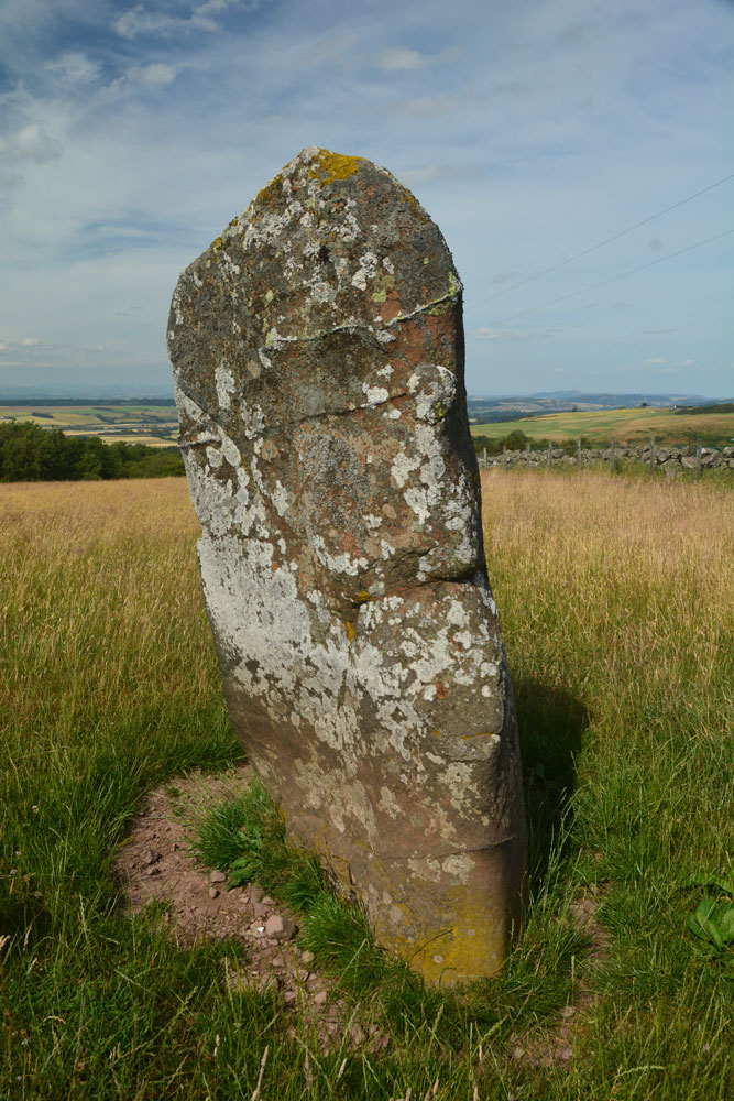
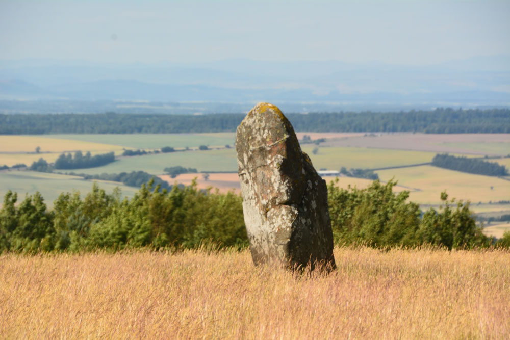
Walking towards the stone (through what looked like a field of wheat, looking back on the photos, but is actually tall, yellow grass which has gone to seed) which is about 7ft tall, we realised it had a ‘shoulder’ to its northern side. Having seen a few other stones like this recently (the Megget Stone springs immediately to mind), I wondered if this had been deliberately cut like this, but looking at the bashes this stone has had, and the cracks and loose pieces on it, it looks as if it has fractured and a piece fallen off.
Whilst the views to the south and east are blocked now by forestry, there was a great vista northwards to Dunning and the hills (which appeared as a blue mist) in the far distance. On its northern side, there is a change in slope down from the stone; to its west and slightly to the south, there is a very slight rise. I wondered if the change in ground level might be because either farming, or perhaps a prevailing wind over time, has caused the ground level to build up here.
A very peaceful and beautiful place.
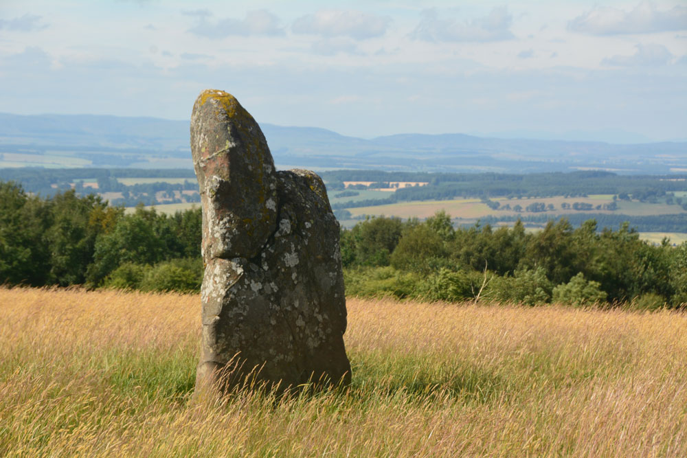
This stone is recorded as Canmore ID 26681, which describes this as "a standing stone 2.1m high with a triangular base 1.2 x 1.2 x 0.5m, the short side facing due north. It leans slightly to the W." They add that the OS Name Book says: "the reputed burial place of the Maormor of Atholl AD. 964. Killed at the battle of Duncrub."
The Northern Antiquarian (TNA) also feature a page for this stone - see their entry for Gray Stone, Dunning, Perthshire, which has directions for finding this standing stone together with photographs, a brief archaeology & history, the 1866 OS map showing the location of the stone and local folklore.
Note: Have you visited this site? Do you have any photographs or information to add?
You may be viewing yesterday's version of this page. To see the most up to date information please register for a free account.


Do not use the above information on other web sites or publications without permission of the contributor.
Click here to see more info for this site
Nearby sites
Key: Red: member's photo, Blue: 3rd party photo, Yellow: other image, Green: no photo - please go there and take one, Grey: site destroyed
Download sites to:
KML (Google Earth)
GPX (GPS waypoints)
CSV (Garmin/Navman)
CSV (Excel)
To unlock full downloads you need to sign up as a Contributory Member. Otherwise downloads are limited to 50 sites.
Turn off the page maps and other distractions
Nearby sites listing. In the following links * = Image available
2.5km N 1° Dun Knock (Dunning)* Hillfort (NO0230914317)
2.7km N 353° Dupplin Cross* Ancient Cross (NO01901448)
2.9km N 352° Dunning* Standing Stone (Menhir) (NO01851469)
4.0km N 355° Leadketty Stone Circle (NO01921581)
4.4km N 356° Leadketty Stone Circle (NO020162)
4.8km WNW 302° Westerton Timber Hall Ancient Village or Settlement (NN9821414444)
5.2km W 265° Ogle Hill Hillfort (NN96941148)
5.3km SSW 206° Borland Glen* Stone Circle (NN9976607093)
6.0km NNE 30° Forteviot Timber Circle (NO053169)
6.2km NW 309° Loanhead (Aberuthven) Stone Circle (NN974158)
6.4km NW 315° Haugh Of Aberuthven* Standing Stone (Menhir) (NN97711643)
6.4km NNE 26° St Andrew's Church (Forteviot) Class III Pictish Cross Slab (NO052175)
6.5km NNE 26° Forteviot Cross* Sculptured Stone (NO0518017527)
6.6km NNE 29° Forteviot Dagger Burial* Cist (NO055175)
7.4km WNW 284° St Mackessog’s Well* Holy Well or Sacred Spring (NN950137)
8.6km NW 316° Trinity Well (Trinity Gask) Holy Well or Sacred Spring (NN96311812)
8.7km E 99° West Blair Standing Stone (Menhir) (NO108103)
8.7km E 94° Abbots Deuglie Stone Circle (NO109110)
9.3km W 273° Auchterarder* Standing Stones (NN929125)
9.5km SW 225° Four Stanes (Glendevon) Stone Circle (NN9529405196)
9.7km WNW 291° Belted Stane, Calfward Standing Stone (Menhir) (NN93181548)
9.9km WSW 246° Parks of Gleneagles Stone Circle (NN9308)
9.9km WSW 257° Gleneagles B* Standing Stone (Menhir) (NN92430981)
10.3km WSW 256° Gleneagles A* Standing Stone (Menhir) (NN9211509625)
10.4km WNW 294° North Mains A Timber Circle (NN928163)
View more nearby sites and additional images


 We would like to know more about this location. Please feel free to add a brief description and any relevant information in your own language.
 Wir möchten mehr über diese Stätte erfahren. Bitte zögern Sie nicht, eine kurze Beschreibung und relevante Informationen in Deutsch hinzuzufügen.
 Nous aimerions en savoir encore un peu sur les lieux. S'il vous plaît n'hesitez pas à ajouter une courte description et tous les renseignements pertinents dans votre propre langue.
 Quisieramos informarnos un poco más de las lugares. No dude en añadir una breve descripción y otros datos relevantes en su propio idioma.