<< Our Photo Pages >> Altsächsisches Gräberfeld Liebenau - Barrow Cemetery in Germany in Lower Saxony, Bremen
Submitted by CharcoalBurner89 on Friday, 02 December 2022 Page Views: 274
Neolithic and Bronze AgeSite Name: Altsächsisches Gräberfeld LiebenauCountry: Germany
NOTE: This site is 16.193 km away from the location you searched for.
Land: Lower Saxony, Bremen Type: Barrow Cemetery
Nearest Town: Liebenau Nearest Village: Reese
Latitude: 52.587430N Longitude: 9.075520E
Condition:
| 5 | Perfect |
| 4 | Almost Perfect |
| 3 | Reasonable but with some damage |
| 2 | Ruined but still recognisable as an ancient site |
| 1 | Pretty much destroyed, possibly visible as crop marks |
| 0 | No data. |
| -1 | Completely destroyed |
| 5 | Superb |
| 4 | Good |
| 3 | Ordinary |
| 2 | Not Good |
| 1 | Awful |
| 0 | No data. |
| 5 | Can be driven to, probably with disabled access |
| 4 | Short walk on a footpath |
| 3 | Requiring a bit more of a walk |
| 2 | A long walk |
| 1 | In the middle of nowhere, a nightmare to find |
| 0 | No data. |
| 5 | co-ordinates taken by GPS or official recorded co-ordinates |
| 4 | co-ordinates scaled from a detailed map |
| 3 | co-ordinates scaled from a bad map |
| 2 | co-ordinates of the nearest village |
| 1 | co-ordinates of the nearest town |
| 0 | no data |
Internal Links:
External Links:
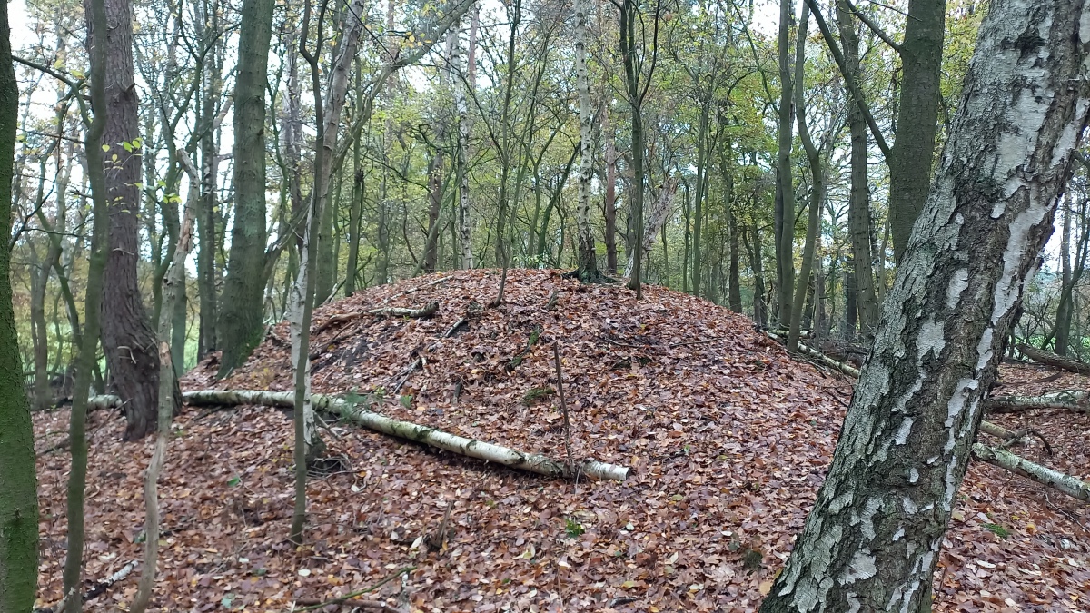
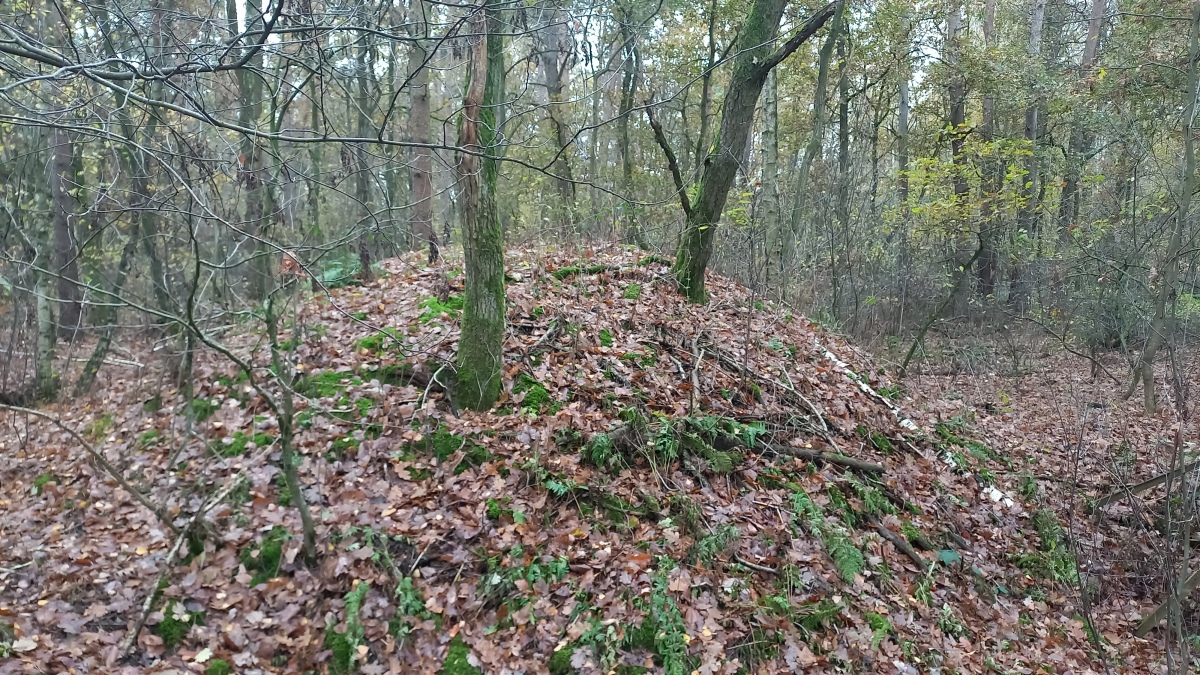
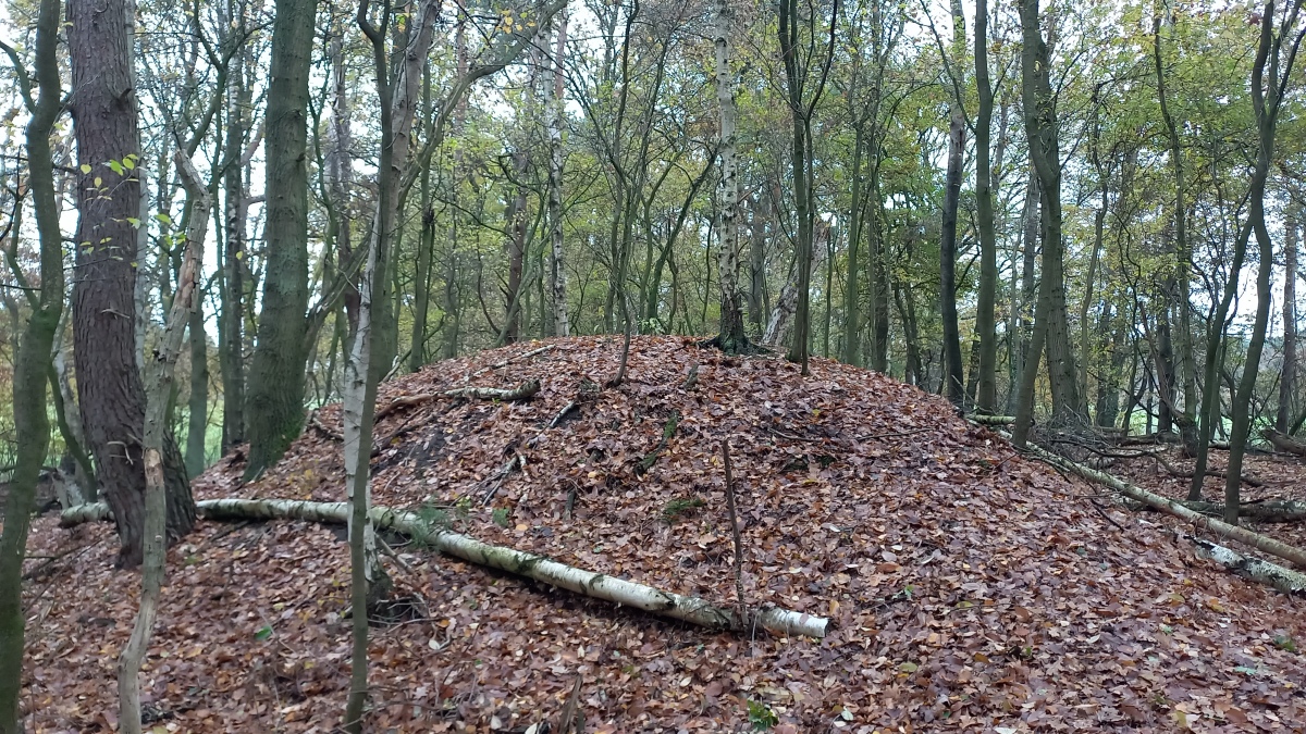
The Old Saxon burial ground in Liebenau is a burial ground near Liebenau (Lower Saxony) that was used between the 4th and 9th centuries for cremation and burial. It is located on the Heidberg, a range of dunes up to 4 meters high along the river Große Aue, which has been known for prehistoric finds since the beginning of the 20th century. Around 520 graves were discovered during excavations by the Lower Saxony State Museum Hanover, which began in 1953 and continued for more than 35 years. The grave goods provided important insights into the culture of the Old Saxons.
The Old Saxon burial ground in Liebenau was laid out on the dune range of the Heidberg, which is about 2 km south-west of Liebenau and north of the Liebenau-Steyerberg road. It is an elongated, east-west trending sand drift, up to 200 meters wide and approximately 2 km long. It runs between the Reese residential area and the Liebenau Jewish Cemetery on the L 251 state road. The dune stretches along the south bank of the Große Aue, which is a left tributary of the Weser.
The archaeological excavations from 1953 showed that the dune reached a height of 4 meters and is based on existing alluvial loam. Based on the find situations, their uplift could be dated to between 2500 and 700 BC. date. The inland dune continued to migrate in some areas after it was no longer used as a burial ground in the 9th century. The area may have been settled early on, even if the settlement site of the burial ground has not yet been found. As a tributary of the Weser, the Große Aue offered the settlers good access to the river. The terrain was also higher and offered protection from regular flooding of the Weser. An old army road passed nearby.
The name Heidberg for the area is an old field name. The reason for the naming is no longer known, but could be due to its former status as a heathland. The Old Saxons buried their dead almost exclusively in the sand of the dune, since no graves were found in neighboring areas. The good state of preservation of the graves found is due to the dune sand, which, being poor soil, has never been used for agriculture. Due to the lack of possible uses, the sand dune remained largely undisturbed until the 1950s. Until then, there had been human intervention in the form of small sand removals and the construction of the Nienburg-Uchte railway connection and the Liebenau-Steyerberg road connection. There were also archaeological finds such as urns near the Liebenau train station and in the area of the Liebenau Jewish cemetery.
The information was taken from the wikipedia page and translated by me: https://de.wikipedia.org/wiki/Altsächsisches_Gräberfeld_Liebenau
There are also some photographs of the finds made.
You may be viewing yesterday's version of this page. To see the most up to date information please register for a free account.
Do not use the above information on other web sites or publications without permission of the contributor.
Nearby Images from Flickr


The above images may not be of the site on this page, but were taken nearby. They are loaded from Flickr so please click on them for image credits.
Click here to see more info for this site
Nearby sites
Click here to view sites on an interactive map of the areaKey: Red: member's photo, Blue: 3rd party photo, Yellow: other image, Green: no photo - please go there and take one, Grey: site destroyed
Download sites to:
KML (Google Earth)
GPX (GPS waypoints)
CSV (Garmin/Navman)
CSV (Excel)
To unlock full downloads you need to sign up as a Contributory Member. Otherwise downloads are limited to 50 sites.
Turn off the page maps and other distractions
Nearby sites listing. In the following links * = Image available
125m NNE 13° Freilichtanlage RAUZWI* Museum
2.1km NNE 29° Witten Hus* Museum
4.0km NNE 19° Bronzezeitliche Grabhügelgruppe Liebenau* Barrow Cemetery
9.0km SSE 162° Urnengräberfeld Leese* Barrow Cemetery
10.4km SSW 192° Erdwerk von Müsleringen* Misc. Earthwork
13.0km NE 54° Grabhügelfeld in Erichshagen* Barrow Cemetery
13.5km SSE 147° Düsselburg* Ancient Village or Settlement
13.7km S 171° Marklo Quelle Opferstein Holy Well or Sacred Spring
13.8km S 171° Opferstein Wasserstraße Holed Stone
16.9km ENE 72° Giebichenstein* Natural Stone / Erratic / Other Natural Feature
16.9km ENE 72° Archäologischer Wanderpfad Giebichenstein* Museum
16.9km ENE 72° Stöckse Teufelsbett* Chambered Tomb
17.2km ENE 73° Hügelgräberfeld bei Stöckse* Barrow Cemetery
18.2km SSE 152° Dinosaurierpark Münchehagen Museum
19.3km ESE 123° Goliathstein* Natural Stone / Erratic / Other Natural Feature
20.2km ESE 121° Davidstein* Natural Stone / Erratic / Other Natural Feature
28.4km NW 305° Grabhügelfeld Schmalförden Barrow Cemetery
30.1km WSW 241° Grabhügel Wehe Round Barrow(s)
30.8km SE 140° Urnengräberfeld Hohnhorst* Barrow Cemetery
31.2km SW 234° Großer Stein von Tonnenheide* Natural Stone / Erratic / Other Natural Feature
35.1km NW 309° Stöttinghausen Hünenburg* Stone Fort or Dun
36.4km S 183° Summstein Bückeburg* Modern Stone Circle etc
37.9km SW 215° Moorfundplatz Unterlübbe Ancient Trackway
38.9km NNE 17° Holtum Monolith Sculptured Stone
39.4km S 191° Wallburg Nammer Lager* Hillfort
View more nearby sites and additional images


 We would like to know more about this location. Please feel free to add a brief description and any relevant information in your own language.
 Wir möchten mehr über diese Stätte erfahren. Bitte zögern Sie nicht, eine kurze Beschreibung und relevante Informationen in Deutsch hinzuzufügen.
 Nous aimerions en savoir encore un peu sur les lieux. S'il vous plaît n'hesitez pas à ajouter une courte description et tous les renseignements pertinents dans votre propre langue.
 Quisieramos informarnos un poco más de las lugares. No dude en añadir una breve descripción y otros datos relevantes en su propio idioma.