<< Our Photo Pages >> Hillfort Mountain - Hillfort in Czech Republic in Bohemia
Submitted by ladrin on Sunday, 21 June 2020 Page Views: 620
Iron Age and Later PrehistorySite Name: Hillfort Mountain Alternative Name: Okrouhlé Hradiště, Hradištský vrchCountry: Czech Republic
NOTE: This site is 11.58 km away from the location you searched for.
Region: Bohemia Type: Hillfort
Nearest Town: Konstantinovy Lázně Nearest Village: Okrouhlé Hradiště
Latitude: 49.871308N Longitude: 12.988626E
Condition:
| 5 | Perfect |
| 4 | Almost Perfect |
| 3 | Reasonable but with some damage |
| 2 | Ruined but still recognisable as an ancient site |
| 1 | Pretty much destroyed, possibly visible as crop marks |
| 0 | No data. |
| -1 | Completely destroyed |
| 5 | Superb |
| 4 | Good |
| 3 | Ordinary |
| 2 | Not Good |
| 1 | Awful |
| 0 | No data. |
| 5 | Can be driven to, probably with disabled access |
| 4 | Short walk on a footpath |
| 3 | Requiring a bit more of a walk |
| 2 | A long walk |
| 1 | In the middle of nowhere, a nightmare to find |
| 0 | No data. |
| 5 | co-ordinates taken by GPS or official recorded co-ordinates |
| 4 | co-ordinates scaled from a detailed map |
| 3 | co-ordinates scaled from a bad map |
| 2 | co-ordinates of the nearest village |
| 1 | co-ordinates of the nearest town |
| 0 | no data |
Internal Links:
External Links:

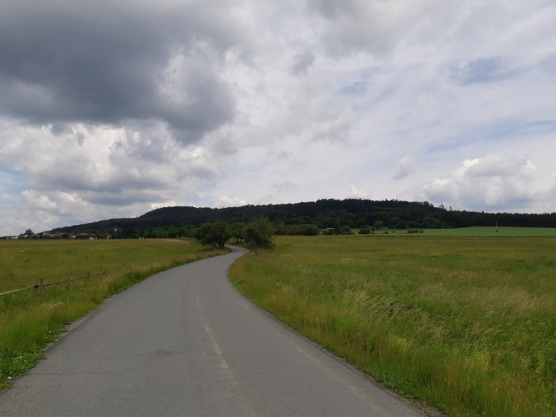
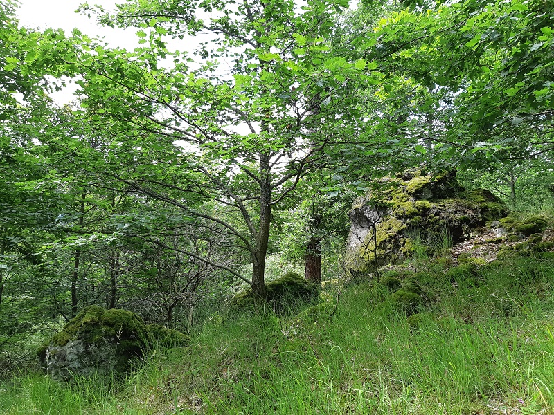
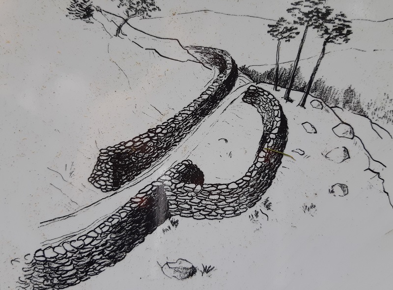
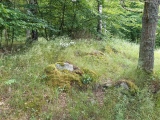
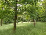
The second largest hillfort in western Bohemia of its kind is located on the plateau of the flat mountain surprisingly called "Hillfort mountain" (Hradištní vrch). According several intensive archeological surveys, the settlement of the hillfort once occupied an area of 50 ha. The enclosure stone walls measured almost 4km and included five entrance gates.
The place reached its greatest importance in Late Bronze Age during so called Nynice culture (950 - 800 BC). At the time of peak prosperity it must have been the significant center of the region. Up to one thousand inhabitants had to live here. Rich archeological discoveries include 37 000 different types of pottery shreds. Findings of animal bones indicate the horse and cattle breeding and many clay whorls confirm prehistoric way of weaving.
An archeological nightmare occurs in the northwestern side of the hill. Stone quarry was opened at least decade before discovery of this prehistoric site. Mainly after intensive industrial activity during WWII, the mining was restricted and finaly the place was declared as a national cultural monument in 1958. To be honest, there is a truly awesome swimming opportunity in a crystal water of old quarry..
The hill plateau is accessible only by a marked tourist path these days. There are several stops with explanatory boards there. The ancient place Hillfort Mountain is exceptional for its size, dominant position and the large number of findings. And also for the unique one phase type of the settlement. Which means that archeological traces are not affected by any later periods settlements.
You may be viewing yesterday's version of this page. To see the most up to date information please register for a free account.




Do not use the above information on other web sites or publications without permission of the contributor.
Click here to see more info for this site
Nearby sites
Click here to view sites on an interactive map of the areaKey: Red: member's photo, Blue: 3rd party photo, Yellow: other image, Green: no photo - please go there and take one, Grey: site destroyed
Download sites to:
KML (Google Earth)
GPX (GPS waypoints)
CSV (Garmin/Navman)
CSV (Excel)
To unlock full downloads you need to sign up as a Contributory Member. Otherwise downloads are limited to 50 sites.
Turn off the page maps and other distractions
Nearby sites listing. In the following links * = Image available
1.6km NW 323° Stone Cross Konstantinovy Lázně* Ancient Cross
17.4km S 182° Stone crosses Kladruby* Ancient Cross
17.6km NNW 328° Ringval Rankovice* Misc. Earthwork
21.3km WSW 255° Cross stone Lom u Tachova* Sculptured Stone
21.3km WSW 249° Menhir Klíčov* Standing Stone (Menhir)
22.0km SSW 206° Borovany Devil's stone* Standing Stone (Menhir)
22.6km WSW 244° Devil's Stone (Trnová)* Standing Stone (Menhir)
23.5km NW 322° Mnichov 1 propitiatory cross* Ancient Cross
24.8km WSW 255° Cross stones Vítkov* Standing Stones
25.8km NW 311° Ringval Nimrod* Misc. Earthwork
26.5km WSW 253° Tachov 1 propitiatory cross* Ancient Cross
27.7km NNE 26° Žlutice stones* Standing Stones
28.0km NE 35° Vladar Mountain Hillfort
29.2km NE 48° Rabštejn propitiatory cross* Ancient Cross
29.7km NNE 34° Protivec Propitiatory Cross 1* Ancient Cross
29.7km WSW 253° Tachov 2 propitiatory cross* Ancient Cross
29.9km NNE 14° Údrč Propitiatory Cross* Ancient Cross
30.3km NNE 32° Protivec Propitiatory Cross 2* Ancient Cross
30.5km NNW 333° Krásno Propitiatory Cross* Ancient Cross
31.0km ESE 108° Menhir near Pilsen* Standing Stone (Menhir)
31.1km WNW 298° May Top Kynžvart* Natural Stone / Erratic / Other Natural Feature
32.2km NE 48° Rock Town* Natural Stone / Erratic / Other Natural Feature
32.5km NE 50° Logan Stones* Natural Stone / Erratic / Other Natural Feature
33.3km NE 52° Dědek* Natural Stone / Erratic / Other Natural Feature
33.4km NE 51° Bába* Natural Stone / Erratic / Other Natural Feature
View more nearby sites and additional images





 We would like to know more about this location. Please feel free to add a brief description and any relevant information in your own language.
 Wir möchten mehr über diese Stätte erfahren. Bitte zögern Sie nicht, eine kurze Beschreibung und relevante Informationen in Deutsch hinzuzufügen.
 Nous aimerions en savoir encore un peu sur les lieux. S'il vous plaît n'hesitez pas à ajouter une courte description et tous les renseignements pertinents dans votre propre langue.
 Quisieramos informarnos un poco más de las lugares. No dude en añadir una breve descripción y otros datos relevantes en su propio idioma.