<< Our Photo Pages >> Castro de Chibanes - Castro or Chafurdão in Portugal in Setúbal
Submitted by TheCaptain on Wednesday, 08 September 2010 Page Views: 3684
Iron Age and Later PrehistorySite Name: Castro de ChibanesCountry: Portugal
NOTE: This site is 4.561 km away from the location you searched for.
Distrito: Setúbal Type: Castro or Chafurdão
Nearest Town: Palmela
Latitude: 38.563930N Longitude: 8.918258W
Condition:
| 5 | Perfect |
| 4 | Almost Perfect |
| 3 | Reasonable but with some damage |
| 2 | Ruined but still recognisable as an ancient site |
| 1 | Pretty much destroyed, possibly visible as crop marks |
| 0 | No data. |
| -1 | Completely destroyed |
| 5 | Superb |
| 4 | Good |
| 3 | Ordinary |
| 2 | Not Good |
| 1 | Awful |
| 0 | No data. |
| 5 | Can be driven to, probably with disabled access |
| 4 | Short walk on a footpath |
| 3 | Requiring a bit more of a walk |
| 2 | A long walk |
| 1 | In the middle of nowhere, a nightmare to find |
| 0 | No data. |
| 5 | co-ordinates taken by GPS or official recorded co-ordinates |
| 4 | co-ordinates scaled from a detailed map |
| 3 | co-ordinates scaled from a bad map |
| 2 | co-ordinates of the nearest village |
| 1 | co-ordinates of the nearest town |
| 0 | no data |
Internal Links:
External Links:
I have visited· I would like to visit
BrunoG would like to visit
Bak_teria visited on 27th Dec 2014 - their rating: Cond: 4 Amb: 5 Access: 4
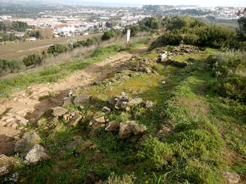
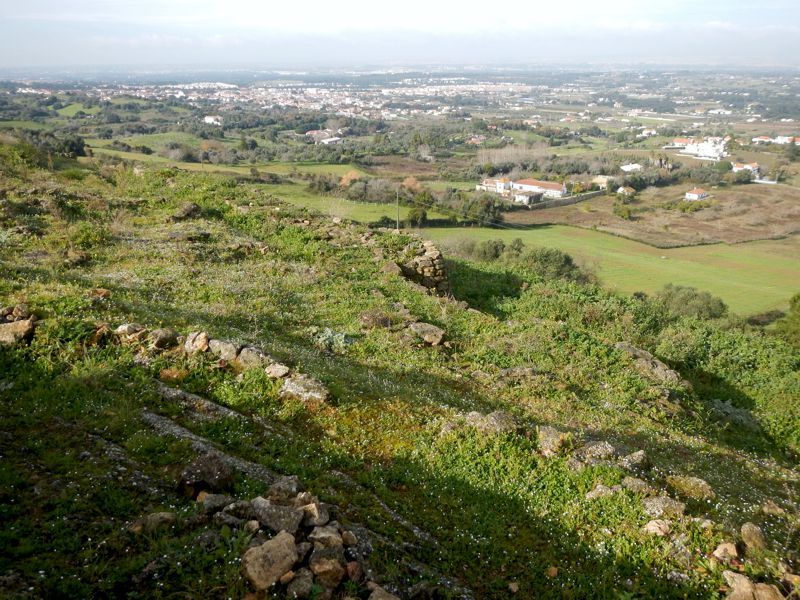
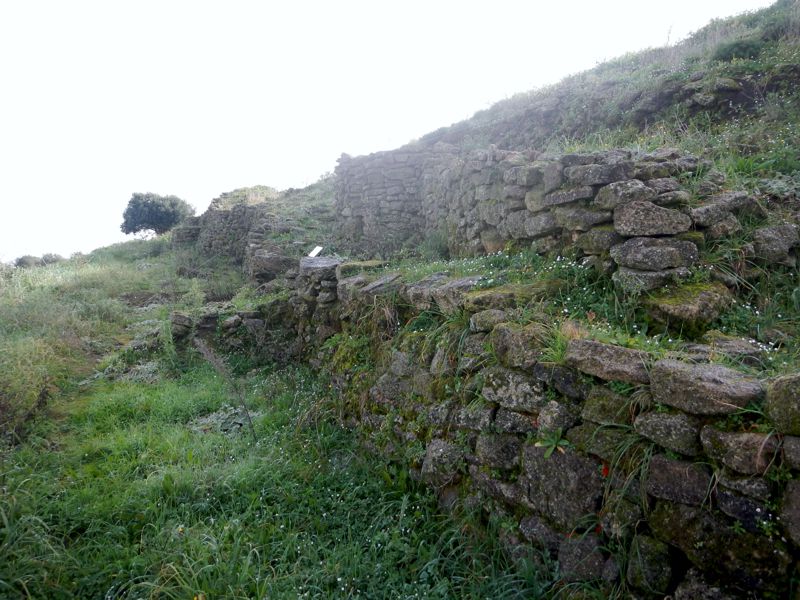
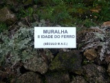
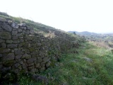
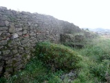
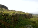
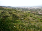
The fortified Castro of Chibanes is located in a peak area of Serra do Louro, in the municipality of Palmela from Setúbal district. This hill is part of the Arrábida Natural Park with extensive visual field that reaches by north the estuary system of the Tejo river and by south the Sado river. This castro was built on a thriving agricultural and livestock economy in the region, although the practice of hunting and recollection of marine-estuarine molluscs are also documented. The metallurgy of copper was part of craft activities. The population of Chibanes have possibly buried their dead in the nearby necropolis (see also Grutas da Quinta do Anjo). It is estimated that the total size of the walled area in the Pre and Proto-history would cover about 1 hectare. The earliest occupation of the fort dates back to the Chalcolithic and old Bronze age. Unfortunately the first part of this fortress was quite destroyed. Probably abandoned, this site would eventually be reoccupied thanks to it's good geostrategic conditions. This reoccupation occurred in the second part of the Iron Age period (3rd and 2nd Century BC) and at the proto-Roman, a period that is also called Roman-Republican (2nd and 1st century BC). The archaeological excavations made in the Castro of Chibanes by the Museum of Archaeology and Ethnography of the District of Setúbal (MAEDS) are of utmost importance for the Palmela region. On the site were erected the two forts prior to the castle of the Islamic period and Christian medieval period. Since March 17, 2011 that the location of this fortified castro is registered as Zona Especial de Protecção (a Special Protection Area). The monument was also classified as a Sitio de Interesse Público (Site of Public Interest).
About the occupation phases
To facilitate the understanding and the archaeological framework of this site is necessary to divide the occupancy levels in three distinct phases:
Phase I
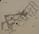
Chalcolithic and old Bronze age. During the old / medium Chalcolithic period one wall is built manned by semicircular bastions, fortifications that develops in an arc with about 300 meters (985 feet) long defending the north facing slope. This wall appears to have been partly destroyed during the Calcolithic period. In this time and at the end of the Calcolithic period were constructed many combustion structures, some of them used in the copper metallurgy.
Phase II
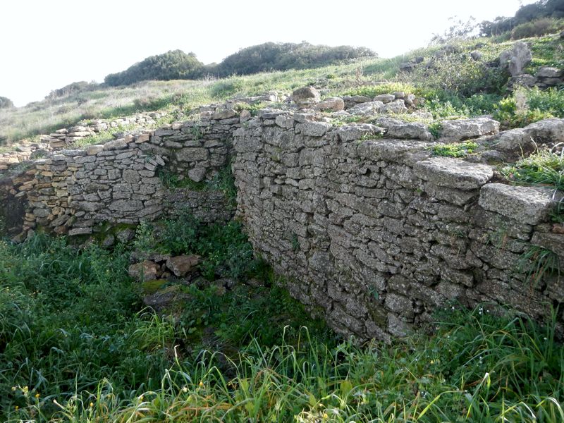
A. - Iron Age. Third century BC. Wall built in the shape of a circular arc garrisoned by circular towers with a length of about 300 meters, in which the line is approximately coincident with the Chalcolithic period, defending the slope facing north. The walled area was densely built with aditional square / rectangular compartments.
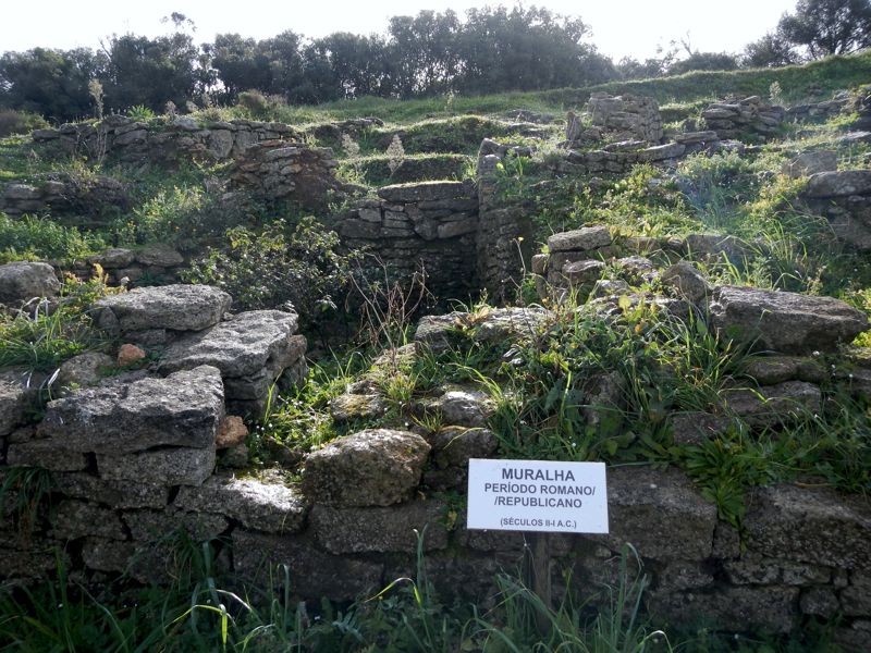
B. - Roman Republican Period. Last quarter of the second century BC / first quarter of the first century BC. Wall built partly above the landslides of the wall made in the Phase II (A.), constructed in a little thick circular arc shape (with about 0.80 m – 2.62 feet - maximum thickness) which seems to have had more the function of delimitation of the village along the north-facing slope, than of defence. At the western end (maybe also in the eastern) were constructed a rectilinear walls system that define a great bulwark. This should defend the access by the ridge of Louro hill. Reuse of the compartments of Phase II (A.) proceeding sometimes to their subdivision.
Phase III
Roman Republican period. Second quarter and mid-first century BC. New division of the compartments of Phase II (A.). Use of the bulwark construction of the west end for residential purposes.
About the artifacts
A varied number of artifacts that helped largely to identify the three distinct phases of occupation were found. Here is a short list of the referenced material: Chalcolithic pottery, bell incised pottery, amphoras and painted ceramic bands (from the 2nd period of the Iron Age), ceramic from the 3rd period of the Iron Age and from the Roman Republican period. Were also found abundant ecofacts such as bones, shells and coals. All the loot found in Chibanes site are currently deposited in the National Museum of Archaeology in Lisbon.
Additional information
Near the site, a little further up next to a geodesic mark is also possible to visit the remains of the village of Alto da Queimada. Although this site is identifiable as belonging to later periods (Roman, Middle Ages and Islamic Medieval), proves once again the idea of the geographical importance of this location in the Palmela region in ancient times.
About the location
It is very easy to get there by car. When you reach a T-junction is time to park your ride and then do a little walking path by Louro hill. The track to the place is little more than 1 Km (0.62 miles) wide and you can enjoy the beautiful scenery and the pretty windmills that you will occasionally find on your way. The pedestrian access is free. Watch out for the mountain bikers and always be nice and friendly with the locals. Remember that this hill is also part of the Arrábida Natural Park.
Links and sources of information
IGESPAR (webpage where the official classification and asset of this monument is referenced)
Portal do Arqueólogo
Museu de Arqueologia e Etnografia
Museu Nacional de Arqueologia
You may be viewing yesterday's version of this page. To see the most up to date information please register for a free account.


Do not use the above information on other web sites or publications without permission of the contributor.
Click here to see more info for this site
Nearby sites
Click here to view sites on an interactive map of the areaKey: Red: member's photo, Blue: 3rd party photo, Yellow: other image, Green: no photo - please go there and take one, Grey: site destroyed
Download sites to:
KML (Google Earth)
GPX (GPS waypoints)
CSV (Garmin/Navman)
CSV (Excel)
To unlock full downloads you need to sign up as a Contributory Member. Otherwise downloads are limited to 50 sites.
Turn off the page maps and other distractions
Nearby sites listing. In the following links * = Image available
1.8km W 271° Grutas da Quinta do Anjo* Rock Cut Tomb
9.1km SSE 161° Cetóbriga Ancient Village or Settlement
15.3km SW 223° Monumento Megalítico da Roça do Casal do Meio* Chambered Tomb
25.5km SE 126° Abul* Ancient Mine, Quarry or other Industry
26.1km NW 310° Museo Geológico - Lisboa* Museum
27.4km NNW 327° Humming Stone Lisbon (Summstein) Modern Stone Circle etc
29.1km WNW 301° Museu Nacional de Arqueologia* Museum
36.5km WNW 300° Castro de Leceia* Castro or Chafurdão
36.6km NW 310° Necrópole de Carenque* Rock Cut Tomb
37.4km WNW 302° Fábrica da Pólvora de Barcarena* Museum
37.5km NW 316° Anta das Pedras Grandes* Burial Chamber or Dolmen
37.7km NW 307° Anta do Monte Abraão* Burial Chamber or Dolmen
38.0km NW 307° Anta da Estria* Burial Chamber or Dolmen
38.2km NW 308° Anta do Senhor da Serra* Burial Chamber or Dolmen
39.5km NNW 339° Dólmen de Monte Serves* Burial Chamber or Dolmen
39.6km NW 306° Anta da Agualva* Burial Chamber or Dolmen
40.3km E 87° Anta da Flamenga Burial Chamber or Dolmen
41.4km NNW 328° Anta de Casaínhos* Burial Chamber or Dolmen
42.4km NW 325° Anta do Alto da Toupeira* Burial Chamber or Dolmen
42.6km NW 325° Gruta de Salemas* Cave or Rock Shelter
42.9km WNW 292° Grutas Artificiais de Alapraia* Rock Cut Tomb
44.2km NW 324° Anta de Carcavelos* Burial Chamber or Dolmen
46.3km WNW 289° Grutas do Poço Velho Cave or Rock Shelter
47.9km WNW 303° Sintra Menhir* Standing Stone (Menhir)
48.1km WNW 302° Castelo dos Mouros, Sintra* Cave or Rock Shelter
View more nearby sites and additional images





 We would like to know more about this location. Please feel free to add a brief description and any relevant information in your own language.
 Wir möchten mehr über diese Stätte erfahren. Bitte zögern Sie nicht, eine kurze Beschreibung und relevante Informationen in Deutsch hinzuzufügen.
 Nous aimerions en savoir encore un peu sur les lieux. S'il vous plaît n'hesitez pas à ajouter une courte description et tous les renseignements pertinents dans votre propre langue.
 Quisieramos informarnos un poco más de las lugares. No dude en añadir una breve descripción y otros datos relevantes en su propio idioma.