<< Our Photo Pages >> Tobar Chaon - Holy Well or Sacred Spring in Scotland in Isle of Skye
Submitted by uisdean on Wednesday, 25 April 2007 Page Views: 5665
Springs and Holy WellsSite Name: Tobar ChaonCountry: Scotland
NOTE: This site is 0.232 km away from the location you searched for.
County: Isle of Skye Type: Holy Well or Sacred Spring
Nearest Town: Armadale Nearest Village: Ord
Map Ref: NG61711340
Latitude: 57.149444N Longitude: 5.941205W
Condition:
| 5 | Perfect |
| 4 | Almost Perfect |
| 3 | Reasonable but with some damage |
| 2 | Ruined but still recognisable as an ancient site |
| 1 | Pretty much destroyed, possibly visible as crop marks |
| 0 | No data. |
| -1 | Completely destroyed |
| 5 | Superb |
| 4 | Good |
| 3 | Ordinary |
| 2 | Not Good |
| 1 | Awful |
| 0 | No data. |
| 5 | Can be driven to, probably with disabled access |
| 4 | Short walk on a footpath |
| 3 | Requiring a bit more of a walk |
| 2 | A long walk |
| 1 | In the middle of nowhere, a nightmare to find |
| 0 | No data. |
| 5 | co-ordinates taken by GPS or official recorded co-ordinates |
| 4 | co-ordinates scaled from a detailed map |
| 3 | co-ordinates scaled from a bad map |
| 2 | co-ordinates of the nearest village |
| 1 | co-ordinates of the nearest town |
| 0 | no data |
Internal Links:
External Links:
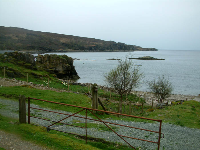
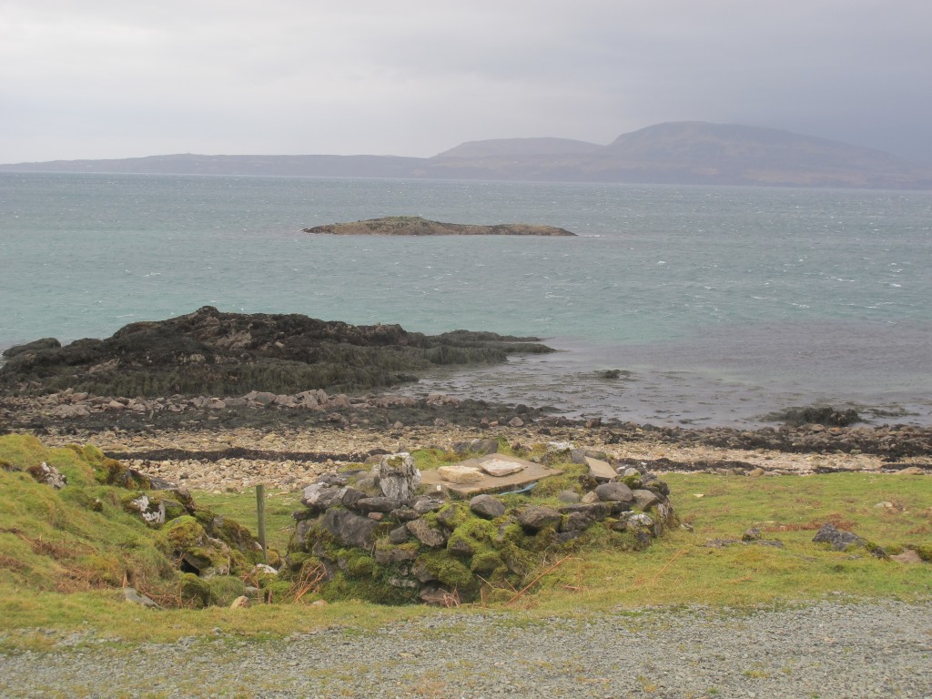
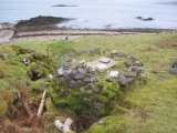
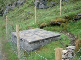
A sacred spring at Ord on Skye, now in a deplorable condition.
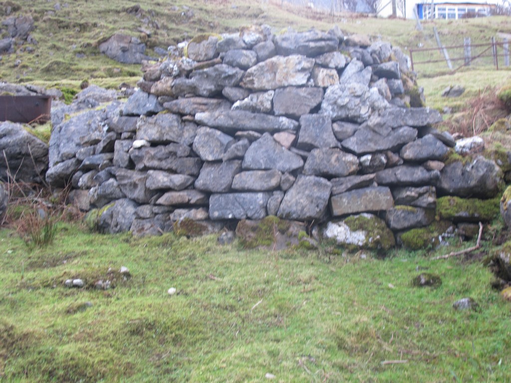
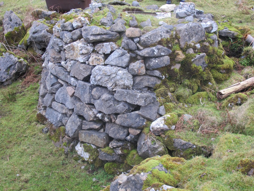
It was described in 1872 as ‘a fine strong spring which flows from the foot of a rock immediately below the farmhouse, a few yards above high-water mark.’ (AP Forbes, ‘Kalendars of Scottish Saints’). The OS, who visited in 1961, noted that ‘it is now piped into an iron cistern’ (see Canmore database, NG61SW). By 2007 it had been entirely enclosed in a concrete cistern and is used to supply water to the adjacent holiday cottages.
The well is dedicated to St Congan, or Comgan (in Gaelic Chaon or Chomhghain), an eighth century saint who was the son of King Ceallach of Leinster. Sent into exile following a defeat, he and his sister St Kentigerna, with her three sons and seven others, settled in Wester Ross where Congan founded a monastery at Lochalsh. His feast day is 13 October. (Information from Irish Catholic Church – Celtic Saints.)
A church dedicated to St Congan is about 300 yards SSE of the well (see separate entry).
You may be viewing yesterday's version of this page. To see the most up to date information please register for a free account.


Do not use the above information on other web sites or publications without permission of the contributor.
Click here to see more info for this site
Nearby sites
Key: Red: member's photo, Blue: 3rd party photo, Yellow: other image, Green: no photo - please go there and take one, Grey: site destroyed
Download sites to:
KML (Google Earth)
GPX (GPS waypoints)
CSV (Garmin/Navman)
CSV (Excel)
To unlock full downloads you need to sign up as a Contributory Member. Otherwise downloads are limited to 50 sites.
Turn off the page maps and other distractions
Nearby sites listing. In the following links * = Image available
224m SE 144° Teampuill Chaon* Early Christian Sculptured Stone (NG61831321)
1.4km SW 232° Inver Aulavaig 2* Cairn (NG6059112629)
1.5km SW 234° Inver Aulavaig 1* Cairn (NG60441259)
1.8km SE 134° Meal-da-Bheinn* Stone Circle (NG629121)
2.8km N 352° Dun Boreraig Fort* Hillfort (NG615162)
3.0km N 1° Dun Boreraig Stone* Standing Stone (Menhir) (NG61951638)
4.0km SW 218° Cnoc an Temple* Burial Chamber or Dolmen (NG591104)
4.6km NNW 330° Dun Kearstack* Hillfort (NG596175)
5.5km NNE 34° Heaste Stone Standing Stone (Menhir) (NG6505117847)
6.6km WNW 299° Dun Ringill* Broch or Nuraghe (NG561170)
6.7km NNW 337° High Pasture Cave* Cave or Rock Shelter (NG59431971)
6.9km N 359° Kilchrist, Glebe* Stone Circle (NG61972027)
7.0km WNW 291° Cadha nan Ingrean* Stone Fort or Dun (NG55331625)
7.1km ESE 117° Dun Knock (Toravaig)* Stone Fort or Dun (NG679098)
7.3km WNW 283° An Reidhean* Stone Circle (NG54701548)
7.4km W 273° Dun Liath (Elgol)* Broch or Nuraghe (NG54331427)
7.4km NNW 335° Clach na h'Annait* Standing Stone (Menhir) (NG58952029)
7.5km WNW 297° Kilmarie (Strathaird) Stone Circle (NG552172)
7.5km WNW 298° Cnocan nan Gobhar* Round Cairn (NG55261735)
7.7km NW 324° Dun Beag (Loch Slapin)* Stone Fort or Dun (NG57511984)
7.7km SE 143° Dun Faich Stone Fort or Dun (NG66020697)
7.8km W 272° Allt Na Cille Souterrain (Fogou, Earth House) (NG539141)
8.0km NW 324° Dun Mor (Torrin)* Broch or Nuraghe (NG57402015)
8.2km W 259° Dun Grugaig (Skye)* Stone Fort or Dun (NG53541229)
8.2km SSE 156° Dun Ela* Stone Fort or Dun (NG64640569)
View more nearby sites and additional images



 We would like to know more about this location. Please feel free to add a brief description and any relevant information in your own language.
 Wir möchten mehr über diese Stätte erfahren. Bitte zögern Sie nicht, eine kurze Beschreibung und relevante Informationen in Deutsch hinzuzufügen.
 Nous aimerions en savoir encore un peu sur les lieux. S'il vous plaît n'hesitez pas à ajouter une courte description et tous les renseignements pertinents dans votre propre langue.
 Quisieramos informarnos un poco más de las lugares. No dude en añadir una breve descripción y otros datos relevantes en su propio idioma.