<< Our Photo Pages >> Blackpark - Stone Circle in Scotland in Isle of Bute
Submitted by saille on Tuesday, 09 October 2018 Page Views: 24157
Neolithic and Bronze AgeSite Name: Blackpark Alternative Name: KingarthCountry: Scotland County: Isle of Bute Type: Stone Circle
Nearest Town: Rothesay Nearest Village: Stravanan
Map Ref: NS0916455666 Landranger Map Number: 63
Latitude: 55.756614N Longitude: 5.042767W
Condition:
| 5 | Perfect |
| 4 | Almost Perfect |
| 3 | Reasonable but with some damage |
| 2 | Ruined but still recognisable as an ancient site |
| 1 | Pretty much destroyed, possibly visible as crop marks |
| 0 | No data. |
| -1 | Completely destroyed |
| 5 | Superb |
| 4 | Good |
| 3 | Ordinary |
| 2 | Not Good |
| 1 | Awful |
| 0 | No data. |
| 5 | Can be driven to, probably with disabled access |
| 4 | Short walk on a footpath |
| 3 | Requiring a bit more of a walk |
| 2 | A long walk |
| 1 | In the middle of nowhere, a nightmare to find |
| 0 | No data. |
| 5 | co-ordinates taken by GPS or official recorded co-ordinates |
| 4 | co-ordinates scaled from a detailed map |
| 3 | co-ordinates scaled from a bad map |
| 2 | co-ordinates of the nearest village |
| 1 | co-ordinates of the nearest town |
| 0 | no data |
Internal Links:
External Links:
I have visited· I would like to visit
SolarMegalith would like to visit
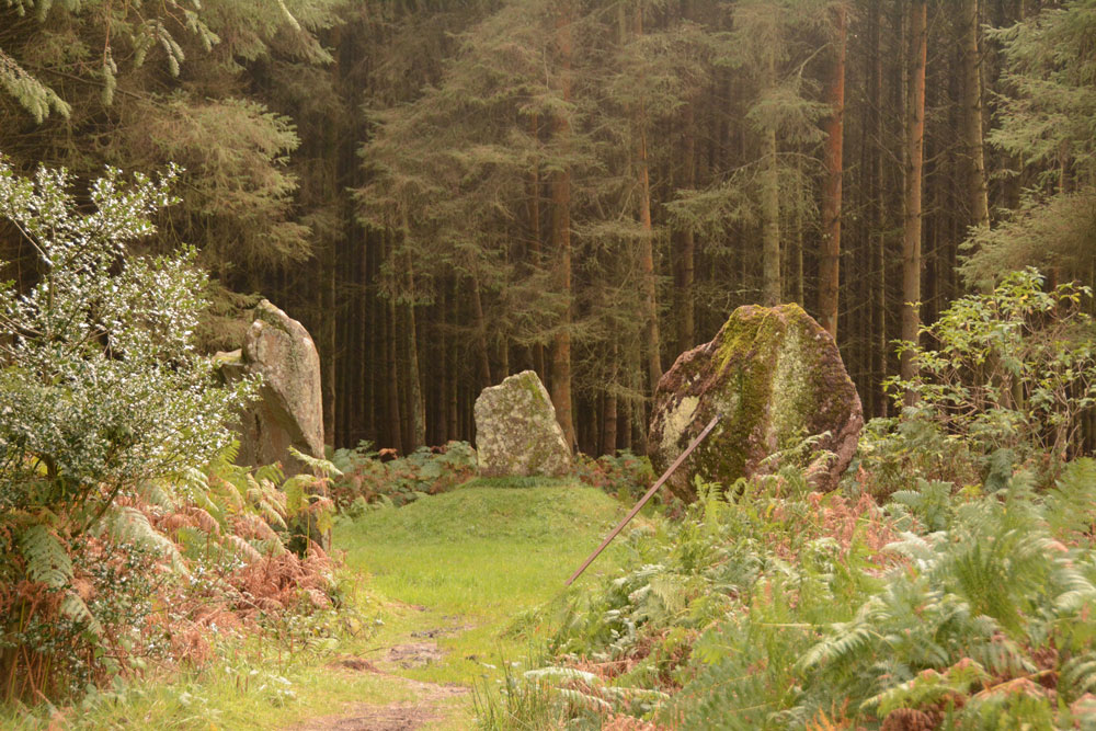
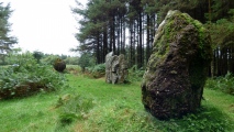
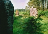
Skryabin visited on 14th Jun 2023 - their rating: Cond: 2 Amb: 4 Access: 4 Three stones now stand in a cleared forest making it easier to assess how the stones are situated in the wider landscape.
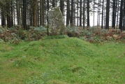
Anne T visited on 25th Sep 2017 - their rating: Cond: 3 Amb: 4 Access: 4 Blackpart Standing Stone, Isle of Bute: About 2.3 km north of St. Blane’s Chapel, still on Plan Road. There is a small car park just off the road, north of the stones, at NS 09160 55716. The ground was very boggy, with large pools of water both on the path to them and in between, so we had to pick our way very careful.
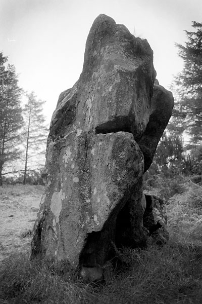
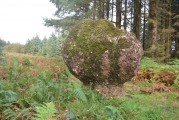
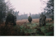
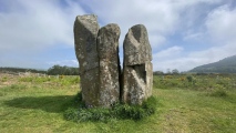
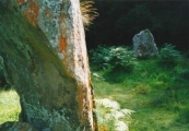
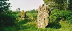
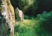
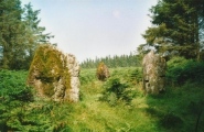
These three stones are some of the most mis-matched I’ve seen. The northern and southern most stones are made of a reddish conglomerate, a little like cement. The third stone looks like whinstone, which has split down the middle, and is the oddest of shapes, morphing what it looks like completely as you walk around it.
Thankfully the mist had thinned by the time we arrived here, and the sun was just starting to show throw the pine trees of the surrounding forest.
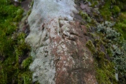
I was very intrigued by the southernmost stone, on a mound – is this a cairn? No mention of this on Canmore, although as I was walking around it I spotted graffiti, including what looked like a misshapen cross.
SandyG visited on 25th Aug 2017 - their rating: Cond: 3 Amb: 3 Access: 5 Car parking is available next to the stones
BolshieBoris visited on 1st Aug 1996 - their rating: Cond: 4 Amb: 5 Access: 3
Average ratings for this site from all visit loggers: Condition: 3 Ambience: 4 Access: 4
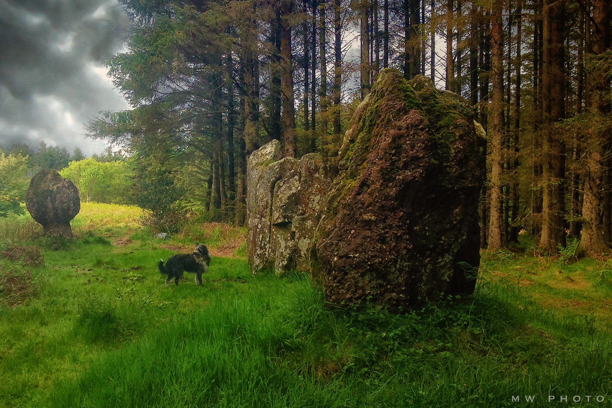
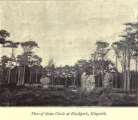
For more information see Canmore site no. 40258, an extract of the 1976 entry reads: "The southernmost stone, damaged in 1974 and now restored, measures 2.2m high by 1.3m by 0.6m thick. The middle of the three stones is 2.8m high by 2.2m by 1.0m and has been split almost in two by frost action. The third stone, supported by an iron bar, is 2.2m high and measures 1.1m by 0.5m at its base but broadens to 2.0m by 0.5m near its top. There are no other stones to be seen nearby."
Their 2009 entry adds: "at least one of them has fallen and been re-erected, and it is not at all clear what form the original setting took. The southernmost stone, a large block of conglomerate, bears numerous graffiti, including what appears to be a small incised cross with expanded terminals."
Towards the west of the road, between Kingarth and Largizean farm, there are three more standing stones which are more in-line with each other than Blackpark. (see nearby sites list)
You may be viewing yesterday's version of this page. To see the most up to date information please register for a free account.







These are just the first 25 photos of Blackpark. If you log in with a free user account you will be able to see our entire collection.
Do not use the above information on other web sites or publications without permission of the contributor.
Click here to see more info for this site
Nearby sites
Key: Red: member's photo, Blue: 3rd party photo, Yellow: other image, Green: no photo - please go there and take one, Grey: site destroyed
Download sites to:
KML (Google Earth)
GPX (GPS waypoints)
CSV (Garmin/Navman)
CSV (Excel)
To unlock full downloads you need to sign up as a Contributory Member. Otherwise downloads are limited to 50 sites.
Turn off the page maps and other distractions
Nearby sites listing. In the following links * = Image available
760m WSW 244° Stravanan Bay* Stone Row / Alignment (NS0846555361)
2.2km S 170° St Blane's Well* Ancient Cross (NS0944253442)
2.3km S 172° St Blane's Broch* Broch or Nuraghe (NS094534)
2.3km S 169° St Blane's Chapel (Isle of Bute)* Ancient Cross (NS0949853405)
2.5km S 191° Dunagoil* Burial Chamber or Dolmen (NS08595322)
2.6km SSW 193° Dunagoil hillfort* Vitrified Fort (NS0847953127)
4.4km NW 311° Scalpsie Barrow* Round Cairn (NS05955873)
4.6km NW 326° Ambrisbeg Hill Cairn* Cairn (NS0677459579)
4.7km NW 318° Loch Quien Crannog* Crannog (NS06185929)
4.7km NW 307° Scalpsie Dun* Stone Fort or Dun (NS05485866)
5.4km NNE 12° Mountstuart* Cist (NS1048360922)
5.7km NNW 327° Bicker's Houses* Chambered Cairn (NS062606)
6.6km NNW 335° Loch Dhu Crannog* Crannog (NS06646176)
7.7km ENE 77° Glaid Stone* Natural Stone / Erratic / Other Natural Feature (NS16765700)
7.8km N 353° Townhead Neolithic Settlement Ancient Village or Settlement (NS086635)
8.1km N 354° St Mary's Well (Rothsay)* Holy Well or Sacred Spring (NS0866763750)
8.1km NW 315° St. Ninian's Bay* Standing Stones (NS037617)
8.2km NNW 345° Craigberoch* Standing Stone (Menhir) (NS0745263652)
8.4km E 82° Gouklan Stone Standing Stone (Menhir) (NS17615641)
9.1km NW 305° Inchmarnock Cists Cist (NS0199361233)
9.6km ENE 67° Tomont End Cairns, Isle of Great Cumbrae* Cairn (NS182591)
10.0km ESE 117° Hawking Craig Cave or Rock Shelter (NS17945079)
10.1km NW 324° Castle Cree* Hillfort (NS0356464133)
10.8km NNW 342° Dun Burgidale* Stone Fort or Dun (NS0627766051)
10.8km SE 125° Auld Hill Fort (Portencross) Hillfort (NS17834910)
View more nearby sites and additional images




 We would like to know more about this location. Please feel free to add a brief description and any relevant information in your own language.
 Wir möchten mehr über diese Stätte erfahren. Bitte zögern Sie nicht, eine kurze Beschreibung und relevante Informationen in Deutsch hinzuzufügen.
 Nous aimerions en savoir encore un peu sur les lieux. S'il vous plaît n'hesitez pas à ajouter une courte description et tous les renseignements pertinents dans votre propre langue.
 Quisieramos informarnos un poco más de las lugares. No dude en añadir una breve descripción y otros datos relevantes en su propio idioma.