<< Our Photo Pages >> Dinas Dinorwig - Hillfort in Wales in Gwynedd
Submitted by oj_no11 on Thursday, 28 December 2023 Page Views: 14604
Iron Age and Later PrehistorySite Name: Dinas Dinorwig Alternative Name: Fort of the OrdovicesCountry: Wales
NOTE: This site is 1 km away from the location you searched for.
County: Gwynedd Type: Hillfort
Nearest Town: Caernarfon Nearest Village: Llanddeiniolen
Map Ref: SH549653
Latitude: 53.164988N Longitude: 4.17193W
Condition:
| 5 | Perfect |
| 4 | Almost Perfect |
| 3 | Reasonable but with some damage |
| 2 | Ruined but still recognisable as an ancient site |
| 1 | Pretty much destroyed, possibly visible as crop marks |
| 0 | No data. |
| -1 | Completely destroyed |
| 5 | Superb |
| 4 | Good |
| 3 | Ordinary |
| 2 | Not Good |
| 1 | Awful |
| 0 | No data. |
| 5 | Can be driven to, probably with disabled access |
| 4 | Short walk on a footpath |
| 3 | Requiring a bit more of a walk |
| 2 | A long walk |
| 1 | In the middle of nowhere, a nightmare to find |
| 0 | No data. |
| 5 | co-ordinates taken by GPS or official recorded co-ordinates |
| 4 | co-ordinates scaled from a detailed map |
| 3 | co-ordinates scaled from a bad map |
| 2 | co-ordinates of the nearest village |
| 1 | co-ordinates of the nearest town |
| 0 | no data |
Internal Links:
External Links:
I have visited· I would like to visit
SolarMegalith would like to visit
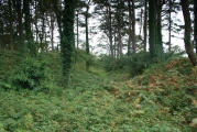
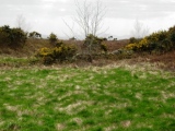
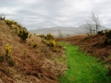
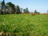
wjones1966 visited on 5th Jan 2011 - their rating: Cond: 3 Amb: 4 Access: 1 Wonderful place...even local people know nothing about it...and the Welsh usually know everything about everything when it comes to hillforts!. I'm not too sure about access. Even though I had a map and knew where it was I still couldn't see it. It wasn't far from a road (the road was however in the middle of nowhere!) leading to a smallholding...I didnt want to intrude into someones garden but having gone to so much trouble to find the place I really did want to see the place. As I approached the gate to the smallholding I noticed a fairly well trodden path to the left and thought 'I'll just have a quick look down here!'...before I knew it I was surrounded by ramparts on both sides. I climbed the outermost rampart and immediately knew I was in the right place...I could see everything from Dinas Dinlle to Llanfairfechan and most of Anglesey. If you carry on between the ramparts you come to a small path which will take you up to the centre of the fort. As I say..I dont't know about the access to the site but judging by the useage of the path I reckon you'll be alright as long as you show due respect to the owners.
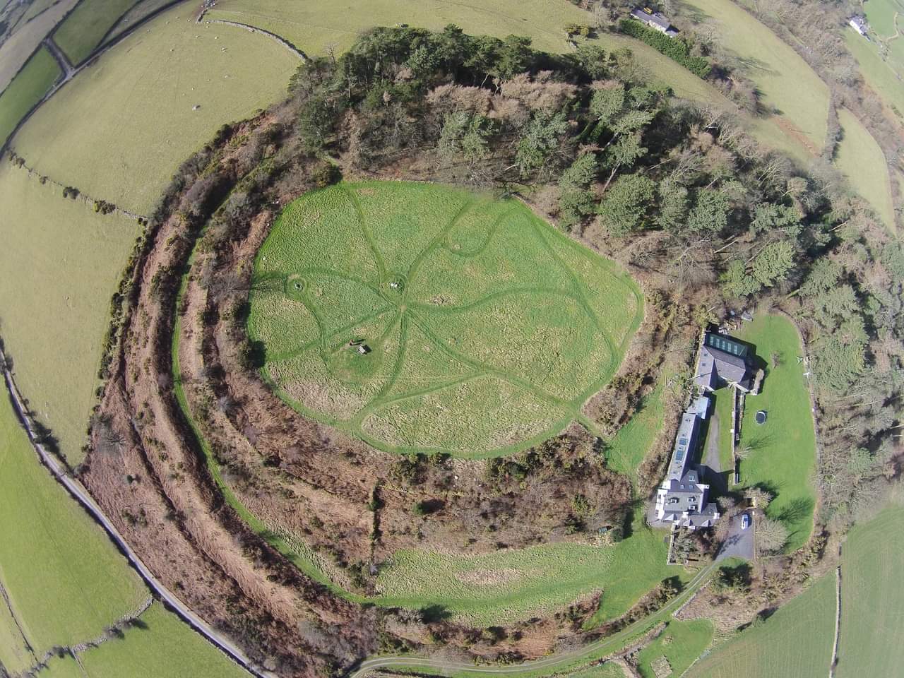
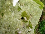
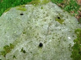
There is a large rock in the centre of the fort and on the western edge of the inner rampart there are many large rocks with holes drilled into them. Remember to ask permission of the farmer as the fort is sited on private property.
You may be viewing yesterday's version of this page. To see the most up to date information please register for a free account.







Do not use the above information on other web sites or publications without permission of the contributor.
Click here to see more info for this site
Nearby sites
Key: Red: member's photo, Blue: 3rd party photo, Yellow: other image, Green: no photo - please go there and take one, Grey: site destroyed
Download sites to:
KML (Google Earth)
GPX (GPS waypoints)
CSV (Garmin/Navman)
CSV (Excel)
To unlock full downloads you need to sign up as a Contributory Member. Otherwise downloads are limited to 50 sites.
Turn off the page maps and other distractions
Nearby sites listing. In the following links * = Image available
447m SSW 205° Glyn Arthur* Cairn (SH547649)
632m SSW 197° Glascoed Ancient Village* Ancient Village or Settlement (SH547647)
714m SE 124° Ffynnon Cegin Arthur Holy Well or Sacred Spring (SH55486488)
909m S 186° Pen Y Gaer (Llanddeiniolen)* Hillfort (SH54776440)
1.8km SSE 156° Cae Corniog Enclosed Hut Group* Ancient Village or Settlement (SH55576368)
1.9km E 90° Coed y Castell Enclosed Hut Circle Settlement* Ancient Village or Settlement (SH5681065230)
2.4km ESE 103° Enclosed Hut Group SW of Cae'r Mynydd* Ancient Village or Settlement (SH57256469)
3.1km NNW 345° Cader Elwa* Standing Stone (Menhir) (SH542683)
3.5km S 182° Parc-y-Gleision Standing Stone* Standing Stone (Menhir) (SH54706180)
3.6km S 171° Pen-y-bwlch settlement Ancient Village or Settlement (SH55336177)
3.6km S 178° Parc Y Gleision Hut Circle Settlement* Ancient Village or Settlement (SH549617)
3.7km SSW 192° Hafodlas Cairn Circle* Cairn (SH54056170)
3.9km SW 219° Pant Afon Bach Maenhir* Standing Stone (Menhir) (SH52366236)
3.9km ENE 77° Ty'n Llidiard Hut Circle Settlement* Ancient Village or Settlement (SH5873066090)
4.3km ENE 77° Carnedd Moel Y Ci* Round Cairn (SH591661)
4.4km SW 222° Cilgwythwch Maenhir* Standing Stone (Menhir) (SH51866217)
4.4km SSW 211° Pant Ifan Maenhir* Standing Stone (Menhir) (SH52506160)
4.6km N 6° Goetre Uchaf Barrow* Round Barrow(s) (SH5556069900)
4.8km NW 319° Bryn yr Hen Bobl* Chambered Cairn (SH5188869005)
5.3km NW 325° Plas Newydd Burial Chamber* Chambered Tomb (SH5199069722)
5.3km S 172° Chwarel Fawr Stones* Rock Art (SH5549660004)
5.6km WNW 285° Maen Morddwyd Early Christian Sculptured Stone (SH495669)
5.9km ENE 72° Sling (Llandegai)* Chambered Tomb (SH60556695)
6.3km N 4° Menai Bridge Gorsedd Circle* Modern Stone Circle etc (SH55517153)
6.3km WNW 284° Brynsiencyn* Round Barrow(s) (SH488670)
View more nearby sites and additional images




 We would like to know more about this location. Please feel free to add a brief description and any relevant information in your own language.
 Wir möchten mehr über diese Stätte erfahren. Bitte zögern Sie nicht, eine kurze Beschreibung und relevante Informationen in Deutsch hinzuzufügen.
 Nous aimerions en savoir encore un peu sur les lieux. S'il vous plaît n'hesitez pas à ajouter une courte description et tous les renseignements pertinents dans votre propre langue.
 Quisieramos informarnos un poco más de las lugares. No dude en añadir una breve descripción y otros datos relevantes en su propio idioma.