<< Our Photo Pages >> Ardblair - Stone Circle in Scotland in Perth and Kinross
Submitted by Nick on Saturday, 30 March 2013 Page Views: 18819
Neolithic and Bronze AgeSite Name: Ardblair Alternative Name: Leys of MarleeCountry: Scotland
NOTE: This site is 0.62 km away from the location you searched for.
County: Perth and Kinross Type: Stone Circle
Nearest Town: Blairgowrie Nearest Village: Lethendy
Map Ref: NO1598943883 Landranger Map Number: 53
Latitude: 56.579330N Longitude: 3.36917W
Condition:
| 5 | Perfect |
| 4 | Almost Perfect |
| 3 | Reasonable but with some damage |
| 2 | Ruined but still recognisable as an ancient site |
| 1 | Pretty much destroyed, possibly visible as crop marks |
| 0 | No data. |
| -1 | Completely destroyed |
| 5 | Superb |
| 4 | Good |
| 3 | Ordinary |
| 2 | Not Good |
| 1 | Awful |
| 0 | No data. |
| 5 | Can be driven to, probably with disabled access |
| 4 | Short walk on a footpath |
| 3 | Requiring a bit more of a walk |
| 2 | A long walk |
| 1 | In the middle of nowhere, a nightmare to find |
| 0 | No data. |
| 5 | co-ordinates taken by GPS or official recorded co-ordinates |
| 4 | co-ordinates scaled from a detailed map |
| 3 | co-ordinates scaled from a bad map |
| 2 | co-ordinates of the nearest village |
| 1 | co-ordinates of the nearest town |
| 0 | no data |
Internal Links:
External Links:
I have visited· I would like to visit
SumDoood would like to visit
BolshieBoris visited on 1st Aug 1997 - their rating: Cond: 3 Amb: 2 Access: 5
SandyG hamish HaggisAction NickyD have visited here

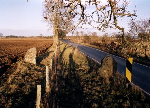
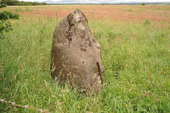
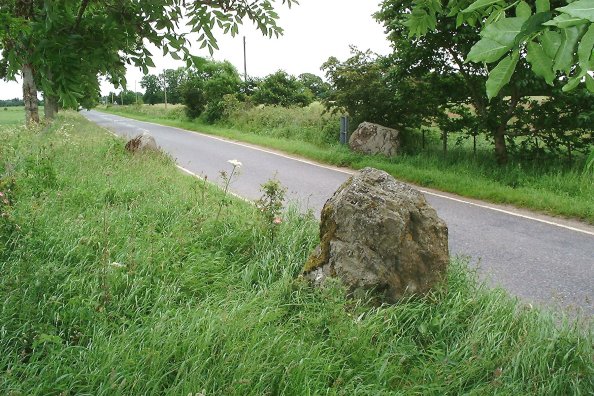
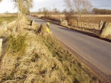
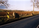
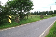
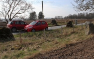
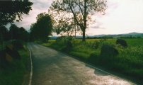
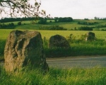
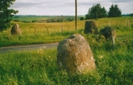
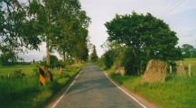
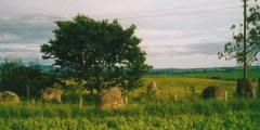
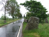
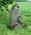
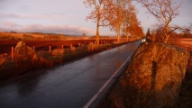
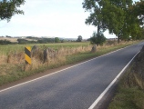
Beware of traffic, clearly - it's no doubt a little faster now than it was then! There are six stones on the circle, which is approximately 48 feet in diameter. The ring is graded to the south-west, with that stone being 1.8m high, the tallest. The western stone and the the most north-easterly were moved to make way for the road, and the southernmost stone was broken during the road-making. It was banded with iron and set in concrete.
Burl also records that the alternative name for this site, the Leys of Marlee, is an anglicised corruption of mor liae, the great stones.
Note: Prehistoric poster exhibition running in Blairgowrie Library for April 2013
You may be viewing yesterday's version of this page. To see the most up to date information please register for a free account.







These are just the first 25 photos of Ardblair. If you log in with a free user account you will be able to see our entire collection.
Do not use the above information on other web sites or publications without permission of the contributor.
Click here to see more info for this site
Nearby sites
Key: Red: member's photo, Blue: 3rd party photo, Yellow: other image, Green: no photo - please go there and take one, Grey: site destroyed
Download sites to:
KML (Google Earth)
GPX (GPS waypoints)
CSV (Garmin/Navman)
CSV (Excel)
To unlock full downloads you need to sign up as a Contributory Member. Otherwise downloads are limited to 50 sites.
Turn off the page maps and other distractions
Nearby sites listing. In the following links * = Image available
1.9km WSW 241° Aikenhead Farm (Blairgowrie) Rock Art (NO143430)
2.1km WNW 296° Kinloch Cairn* Cairn (NO14074485)
2.7km N 356° Milton of Drumlochy Round Barrow(s) (NO15834662)
2.9km SW 221° Tower of Lethendy Class III Pictish Cross Slab (NO140417)
3.0km S 185° Caputh Cursus Cursus (NO15664088)
3.4km E 91° The Welton Stone Circle (NO1937243766)
3.4km S 173° Cleaven Dyke* Cursus (NO16334049)
3.8km ENE 75° Rattray Cursus Cursus (NO19744479)
4.1km SSE 162° Caputh Cursus Cursus (NO17153998)
4.4km S 182° The Tron* Modern Stone Circle etc (NO1575439489)
4.6km ENE 64° Drumend* Standing Stone (Menhir) (NO20184582)
4.6km ENE 64° Drumend* Holy Well or Sacred Spring (NO202458)
4.8km NNE 29° Craighall Mill* Stone Circle (NO18444805)
4.8km NNE 26° Glenballoch Farm* Stone Circle (NO182482)
5.1km NNE 28° Craighall* Standing Stone (Menhir) (NO185483)
5.2km NE 45° Broadmoss Standing Stones (NO198475)
5.4km S 179° Meikleour Natural Stone / Erratic / Other Natural Feature (NO15993849)
5.6km NW 309° Muir of Gormach Stone Circle (NO11734751)
6.0km NNE 20° Woodside (Bridge of Cally) Standing Stone (Menhir) (NO18224951)
6.1km NE 36° Broad Moss Stone Circle (NO197487)
6.5km WSW 246° Glendelvine House Standing Stone (Menhir) (NO09954130)
6.6km NNE 21° Woodside, Hill of Drimmie* Stone Circle (NO1848750054)
6.7km NNE 21° Horse Stone, Hill of Drimmie* Standing Stone (Menhir) (NO18535007)
7.7km S 188° Cargill Symbol Stone Class I Pictish Symbol Stone (NO14773623)
7.8km SW 226° Murthly* Stone Circle (NO10273852)
View more nearby sites and additional images




 We would like to know more about this location. Please feel free to add a brief description and any relevant information in your own language.
 Wir möchten mehr über diese Stätte erfahren. Bitte zögern Sie nicht, eine kurze Beschreibung und relevante Informationen in Deutsch hinzuzufügen.
 Nous aimerions en savoir encore un peu sur les lieux. S'il vous plaît n'hesitez pas à ajouter une courte description et tous les renseignements pertinents dans votre propre langue.
 Quisieramos informarnos un poco más de las lugares. No dude en añadir una breve descripción y otros datos relevantes en su propio idioma.