Featured: Friendly specialist tours to ancient, mystical and historical sites in the UK and beyond

Friendly specialist tours to ancient, mystical and historical sites in the UK and beyond

Random Image


Capèla dèla Riva

Help Protect this Brigantes Hillfort - Click to Sign the Petition

Help Protect this Brigantes Hillfort - Click to Sign the Petition

Who's Online

There are currently, 300 guests and 3 members online.

You are a guest. To join in, please register for free by clicking here

Sponsors

<< Our Photo Pages >> Conderton Camp - Promontory Fort / Cliff Castle in England in Worcestershire

Submitted by HarryTwenty on Wednesday, 23 May 2018  Page Views: 11525

Iron Age and Later PrehistorySite Name: Conderton Camp
Country: England County: Worcestershire Type: Promontory Fort / Cliff Castle
Nearest Town: Evesham  Nearest Village: Conderton
Map Ref: SO972384  Landranger Map Number: 150
Latitude: 52.043988N  Longitude: 2.042237W
Condition:
5Perfect
4Almost Perfect
3Reasonable but with some damage
2Ruined but still recognisable as an ancient site
1Pretty much destroyed, possibly visible as crop marks
0No data.
-1Completely destroyed
3 Ambience:
5Superb
4Good
3Ordinary
2Not Good
1Awful
0No data.
3 Access:
5Can be driven to, probably with disabled access
4Short walk on a footpath
3Requiring a bit more of a walk
2A long walk
1In the middle of nowhere, a nightmare to find
0No data.
no data Accuracy:
5co-ordinates taken by GPS or official recorded co-ordinates
4co-ordinates scaled from a detailed map
3co-ordinates scaled from a bad map
2co-ordinates of the nearest village
1co-ordinates of the nearest town
0no data
4

Internal Links:
External Links:

Conderton Camp
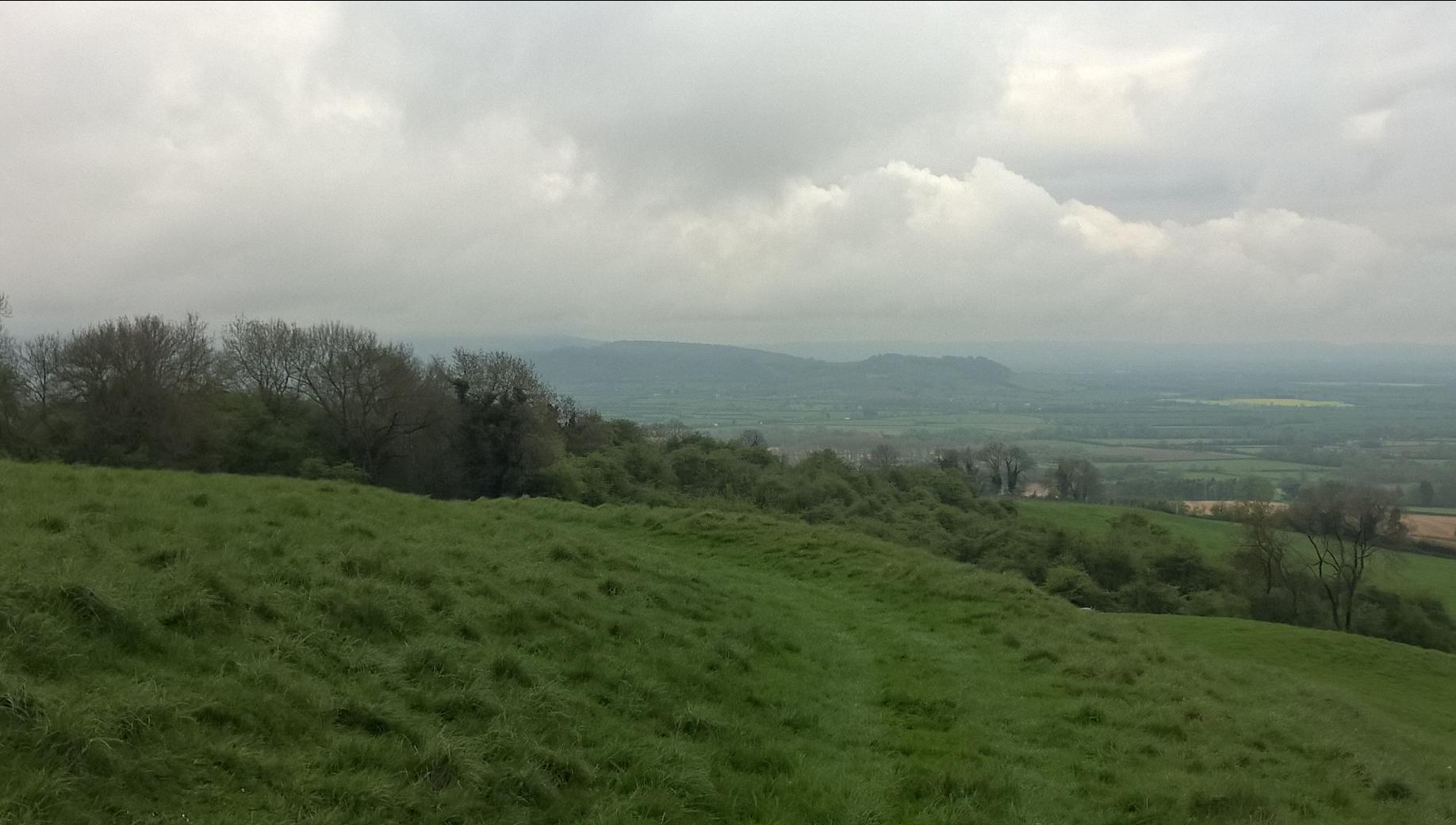
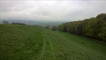
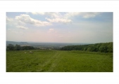
Conderton Camp submitted by HarryTwenty : Looking south with Oxenton Hill in the background. (Vote or comment on this photo)
Conderton Camp is a hillfort on the southern slopes of Bredon Hill in Worcestershire - actually a promontory fort, more of a finger of land sticking out from the mainland.

You can park in the side road by the Yew Tree pub in Conderton and walk up the hill to the site or if you want an easier trek park in Pigeon Lane which runs between Conderton and Overbury and then it's just a short walk up the path. The site can also be reached from the Wychavon Way which runs along the top of Bredon Hill.

If anybody wonders why there are no shots of the north side of the fort it's because that's where it joins to Bredon Hill proper and it's been pretty much ploughed and farmed flat over the last 2000 years.
You may be viewing yesterday's version of this page. To see the most up to date information please register for a free account.
Conderton Camp
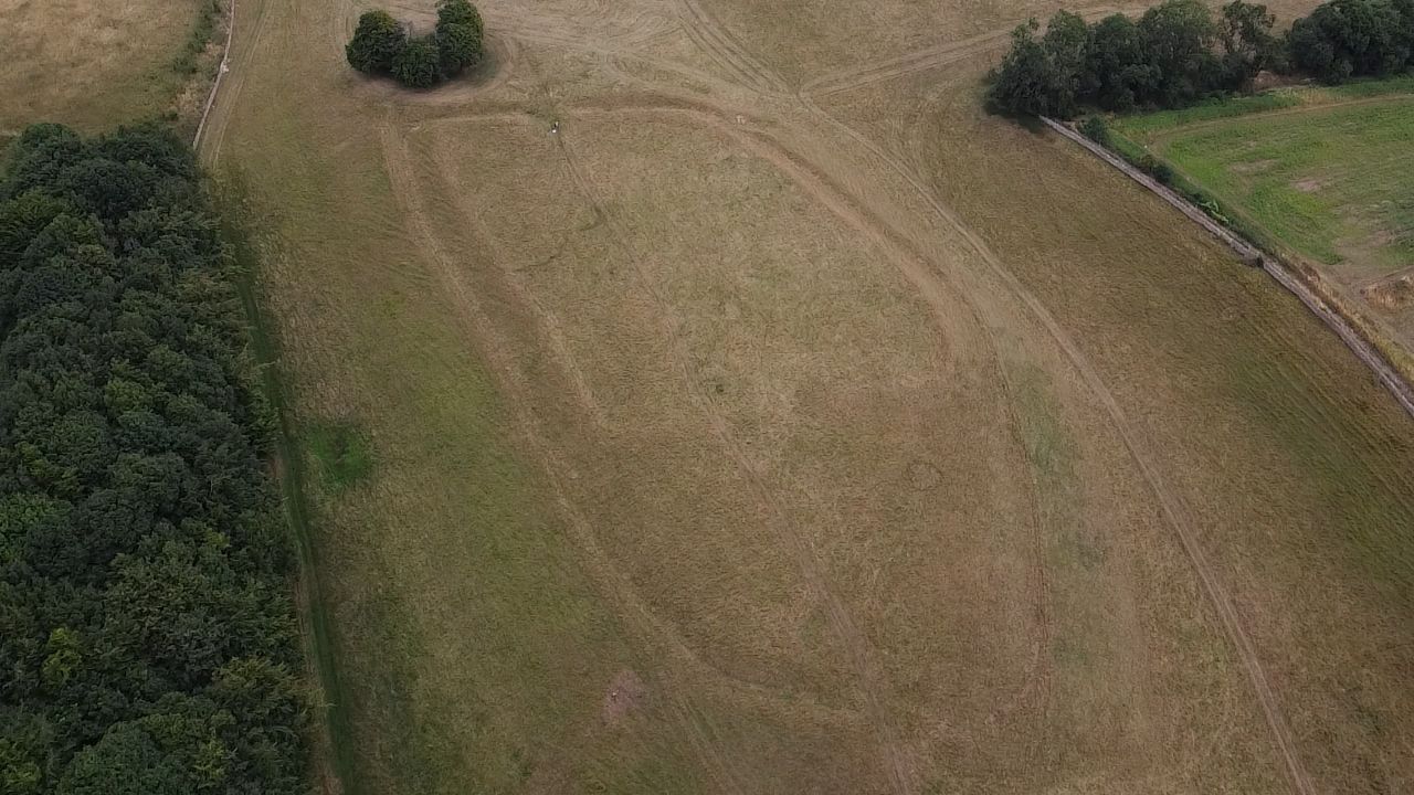
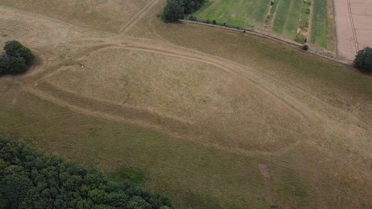
Conderton Camp submitted by camperman : Conderton Camp viewed from the south. The phase two rectangular structure is evident with the southern earlier rampart showing up as well. There were two entrances north and south, with the southern one possibly having guard huts at the end of the in turned passageway. (Vote or comment on this photo)

Conderton Camp
Conderton Camp submitted by camperman : Conderton Camp viewed from the south west. A univallate hillslope fort located just above a spring line. Built in two phases originally enclosing an area of 1.95 hectares. Phase two, when the southern rampart was pulled back to form a smaller enclosure of 0.71 hectares. The interior is rich with evidence of many hut circles and pits. Reasons the structure was made smaller is that it coincided with... (Vote or comment on this photo)

Conderton Camp
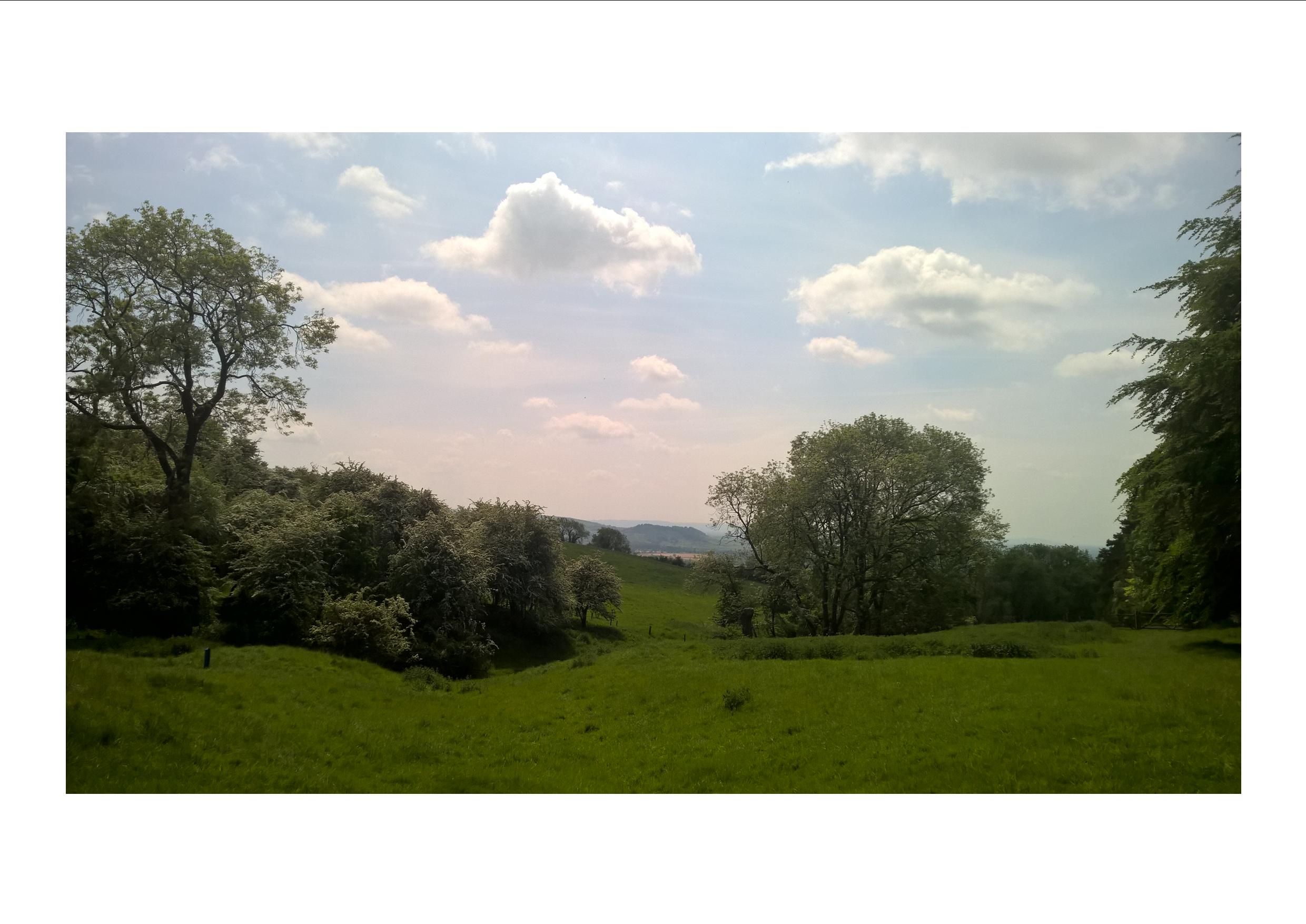
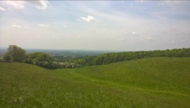
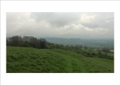
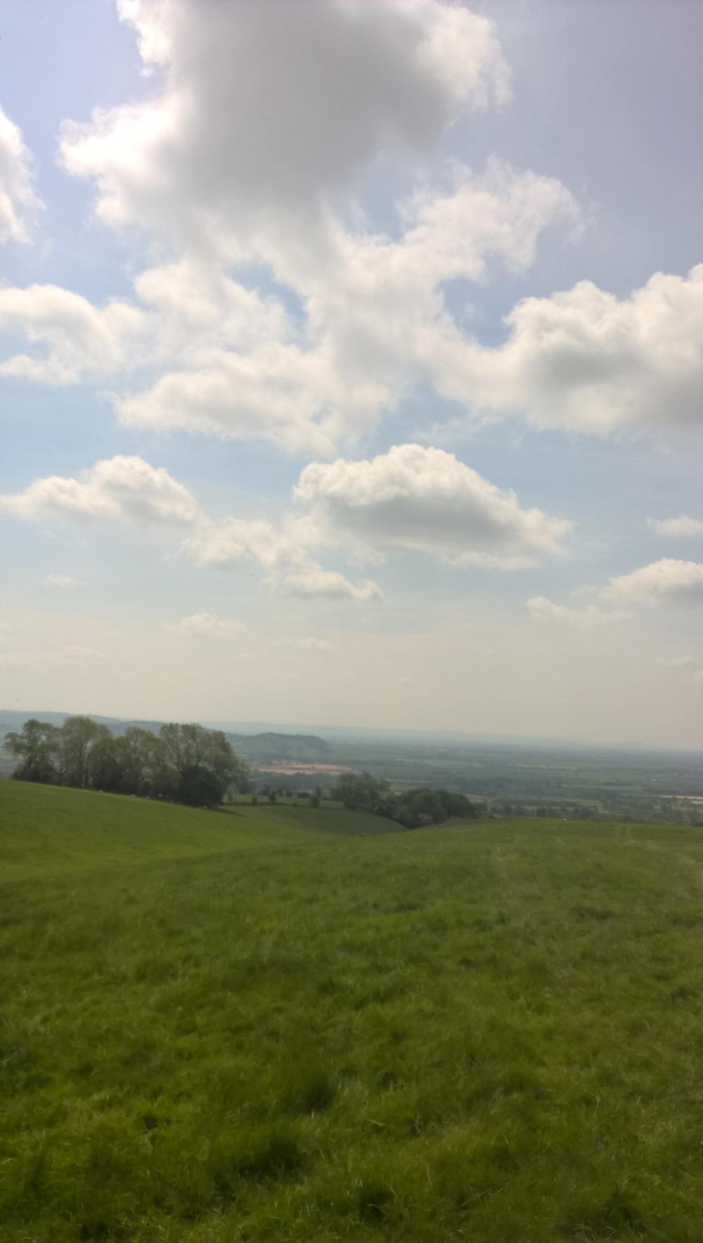
Conderton Camp submitted by HarryTwenty : Stood at the northern end looking south towards Oxenton Hill, interesting sky. (Vote or comment on this photo)

Conderton Camp
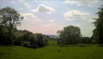
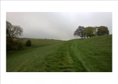
Conderton Camp submitted by HarryTwenty : Approaching the fort from Conderton at the southern end. (Vote or comment on this photo)

Conderton Camp
Conderton Camp submitted by HarryTwenty : Southern ramparts. (Vote or comment on this photo)

Conderton Camp
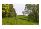
Conderton Camp submitted by HarryTwenty : Western ramparts, looking north.

Conderton Camp
Conderton Camp submitted by HarryTwenty : What's left of the ramparts on the western side, now used as a farm track, looking south.

Conderton Camp
Conderton Camp submitted by HarryTwenty : Looking south with Oxenton Hill in the background.

Conderton Camp
Conderton Camp submitted by HarryTwenty : Dykes at the southern entrance/exit.

Conderton Camp
Conderton Camp submitted by HarryTwenty : Nice steep defences, looking south.

Conderton Camp
Conderton Camp submitted by HarryTwenty : Another view of the camp looking west.

Conderton Camp
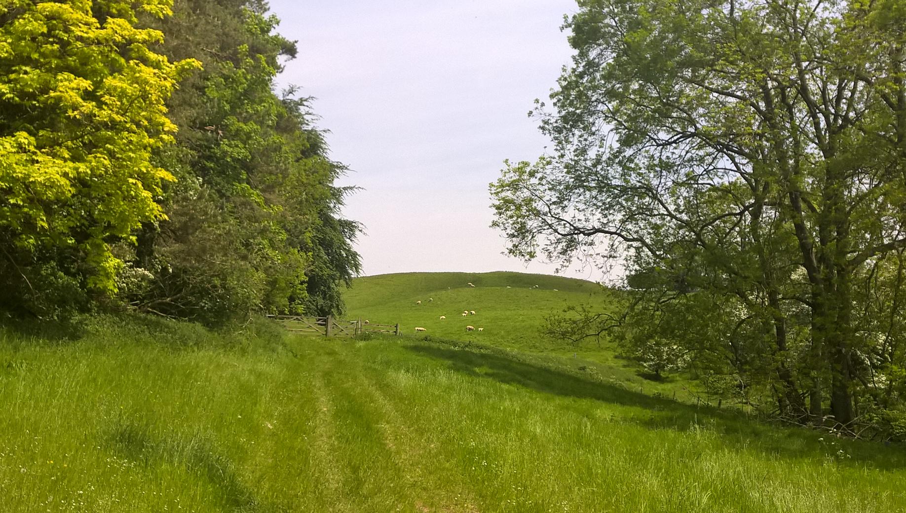
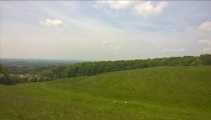
Conderton Camp submitted by HarryTwenty : View of the camp looking west, the sheep give you the scale.

Conderton Camp
Conderton Camp submitted by HarryTwenty : Stood at the northern end looking south towards Oxenton Hill, interesting sky.

Conderton Camp
Conderton Camp submitted by HarryTwenty : Approaching the fort from Conderton at the southern end.

Conderton Camp
Conderton Camp submitted by HarryTwenty : Southern ramparts.

Conderton Camp
Conderton Camp submitted by HarryTwenty : Western ramparts, looking north.

Conderton Camp
Conderton Camp submitted by HarryTwenty : What's left of the ramparts on the western side, now used as a farm track, looking south.

Conderton Camp
Conderton Camp submitted by HarryTwenty : Dykes at the southern entrance/exit.

Conderton Camp
Conderton Camp submitted by HarryTwenty : Nice steep defences, looking south.

Conderton Camp
Conderton Camp submitted by HarryTwenty : Another view of the camp looking west.

Conderton Camp
Conderton Camp submitted by HarryTwenty : View of the camp looking west, the sheep give you the scale.

Do not use the above information on other web sites or publications without permission of the contributor.
Click here to see more info for this site

Nearby sites

Click here to view sites on an interactive OS map

Key: Red: member's photo, Blue: 3rd party photo, Yellow: other image, Green: no photo - please go there and take one, Grey: site destroyed

Download sites to:
KML (Google Earth)
GPX (GPS waypoints)
CSV (Garmin/Navman)
CSV (Excel)

To unlock full downloads you need to sign up as a Contributory Member. Otherwise downloads are limited to 50 sites.


Turn off the page maps and other distractions

Nearby sites listing. In the following links * = Image available
 1.9km NNE 21° Elmley Castle* Hillfort (SO979402)
 2.3km NW 319° Kemerton Camp* Hillfort (SO957401)
 2.6km W 275° The King and Queen Stones* Standing Stones (SO9456738632)
 2.6km NW 316° St. Catherine's Well (Eckington)* Holy Well or Sacred Spring (SO95364030)
 4.6km S 191° The Tibblestone* Standing Stone (Menhir) (SO96333384)
 6.9km N 2° Wick B Cursus Cursus (SO975453)
 7.0km SSE 156° Alderton Cursus Cursus (SP00023199)
 7.0km S 180° The Knolls* Ancient Village or Settlement (SO97253135)
 7.2km WSW 252° Chad Well (Twyning)* Holy Well or Sacred Spring (SO90363617)
 7.3km NNE 23° St Michael (Cropthorne)* Ancient Cross (SP00014512)
 8.3km N 357° Wick A Cursus Cursus (SO96704665)
 8.4km SE 142° The Warren Hillfort (SP024318)
 9.1km S 172° Odo and Dodo* Standing Stones (SO98402935)
 9.3km W 261° Towbury Camp* Hillfort (SO88003695)
 9.9km SW 233° Tewkesbury Abbey holy well* Holy Well or Sacred Spring (SO892325)
 10.1km S 173° Nottingham Hill* Hillfort (SO984284)
 10.2km S 171° Nottingham Hill Carving (Gotherington)* Rock Art (SO98752835)
 10.9km S 171° Cleeve Hill Barrows Round Barrow(s) (SO98872767)
 11.8km SE 135° Hailes Wood Earthworks Misc. Earthwork (SP05663009)
 11.9km S 174° The Ring (Gloucestershire)* Ancient Village or Settlement (SO98472659)
 11.9km ESE 115° Shenberrow Hillfort* Hillfort (SP08043344)
 12.2km S 174° Cleeve Hill Cross Dyke* Misc. Earthwork (SO98562625)
 12.4km NE 41° Norton and Lenchwick Cursus* Cursus (SP054477)
 12.5km SE 133° Beckbury Camp* Hillfort (SP06392988)
 12.8km SE 146° St. Kenelm's Well* Holy Well or Sacred Spring (SP0435827795)
View more nearby sites and additional images

<< National Museum of Scotland (Early Christian Stones)

Hackpen Hill Standing Stone >>

Please add your thoughts on this site

Newgrange and the Bend of the Boyne

Newgrange and the Bend of the Boyne

Sponsors

Auto-Translation (Google)

Translate from English into:

"Conderton Camp" | Login/Create an Account | 4 News and Comments
  
Go back to top of page    Comments are owned by the poster. We aren't responsible for their content.
Re: Conderton Camp by HarryTwenty on Friday, 18 May 2018
(User Info | Send a Message)
Just to correct a couple of points for people visiting the site; the nearest village is Conderton, you can park in the side road by the Yew Tree pub and walk up the hill to the site or if you want an easier trek park in Pigeon Lane which runs between Conderton and Overbury and then it's just a short walk up the path.
The site can also be reached from the Wychavon Way which runs along the top of Bredon Hill.
Conderton Camp is actually a promontory fort as designated by Historic England and not a hillfort.
[ Reply to This ]
    Re: Conderton Camp by Andy B on Friday, 18 May 2018
    (User Info | Send a Message)
    Page updated, thanks Harry.
    [ Reply to This ]
      Re: Conderton Camp by HarryTwenty on Friday, 18 May 2018
      (User Info | Send a Message)
      No worries, if anybody wondered why there were no shots of the north side of the fort it's because that's where it joins to Bredon Hill proper and it's been pretty much ploughed and farmed flat over the last 2000 years.
      Not so much a hillfort island but more of a finger of land sticking out from the mainland.
      [ Reply to This ]

Re: Conderton Camp by HarryTwenty on Friday, 18 May 2018
(User Info | Send a Message)
Interesting history of the site on the Historic England website:
https://historicengland.org.uk/listing/the-list/list-entry/1005327
[ Reply to This ]

Your Name: Anonymous [ Register Now ]
Subject:


Add your comment or contribution to this page. Spam or offensive posts are deleted immediately, don't even bother

<<< What is five plus one as a number? (Please type the answer to this question in the little box on the left)
You can also embed videos and other things. For Youtube please copy and paste the 'embed code'.
For Google Street View please include Street View in the text.
Create a web link like this: <a href="https://www.megalithic.co.uk">This is a link</a>  

Allowed HTML is:
<p> <b> <i> <a> <img> <em> <br> <strong> <blockquote> <tt> <li> <ol> <ul> <object> <param> <embed> <iframe>

We would like to know more about this location. Please feel free to add a brief description and any relevant information in your own language.
Wir möchten mehr über diese Stätte erfahren. Bitte zögern Sie nicht, eine kurze Beschreibung und relevante Informationen in Deutsch hinzuzufügen.
Nous aimerions en savoir encore un peu sur les lieux. S'il vous plaît n'hesitez pas à ajouter une courte description et tous les renseignements pertinents dans votre propre langue.
Quisieramos informarnos un poco más de las lugares. No dude en añadir una breve descripción y otros datos relevantes en su propio idioma.